Home
Images
Vectors
Videos
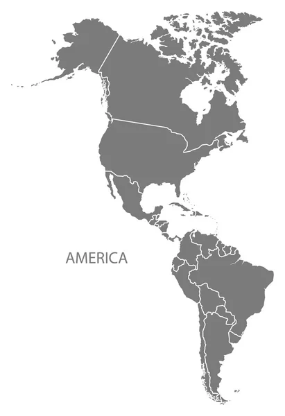
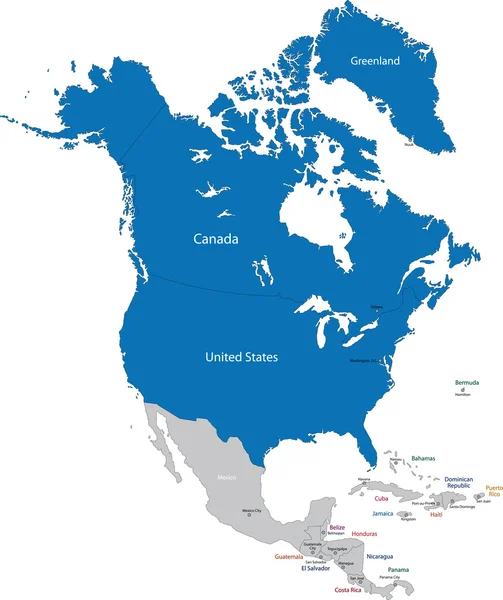
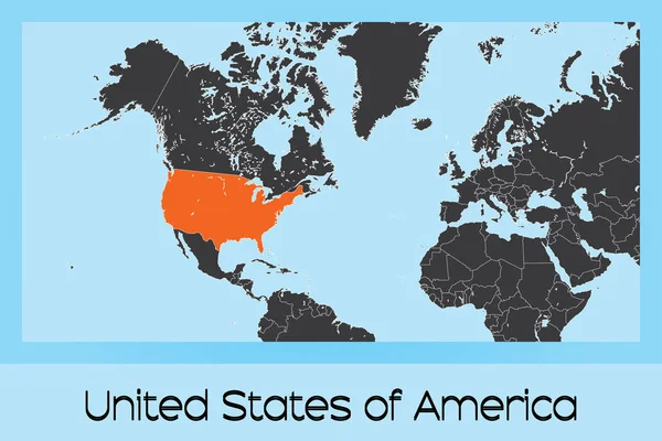
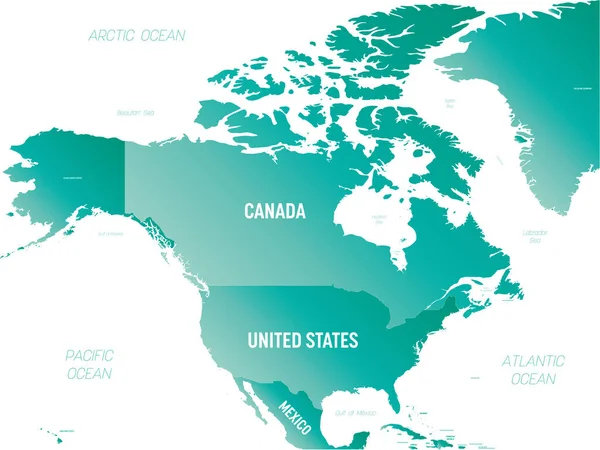
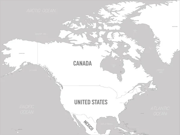
Stock vector North America continent map with countries and labels black
Published:
Feb.19, 2020 12:45:51
Author:
ingomenhard
Views:
6
Downloads:
1
File type:
vector
/
eps
File size:
8.37 MB
Orginal size:
8398
x
8000
px
Available sizes:
S
(500 x 476)
M
(1000 x 953)
L
(2000 x 1905)
XL
(8398 x 8000)
VECT
(8398 x 8000)
EL0
(8398 x 8000)
Level:
bronze
Download Vector
Vector topics:
Vector
Graphic
Illustration
Design
Isolated
Shape
New
Black
Silhouette
Border
Modern
City
Flat
Simple
North
Country
Map
Area
Continent
Trip
State
America
Countries
Borders
Illustrations
Administrative
Department
States
Islands
Region
Division
Territory
Caption
Flats
Labels
County
Divisions
Regional
Names
Districts
Titles
Provinces
Regions
Labelled
Counties
Departments
North America
Similar stock vectors
North America Map Grey
5412 × 5000
North America Map - Green Hue Colored On Dark Background. High Detailed Political Map North American Continent With Country, Capital, Ocean And Sea Names Labeling
6000 × 4503
America With Countries Map Grey
5000 × 7287
NATO In North America
6461 × 7698
America Map Grey
5000 × 7287
Illustrated Country Shape Of United States Of America
4167 × 2778
North America - High Detailed Political Map North American Continent With Country, Ocean And Sea Names Labeling.
8000 × 6004
North America Map - White Lands And Grey Water. High Detailed Political Map North American Continent With Country, Capital, Ocean And Sea Names Labeling
6000 × 4503