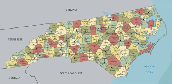
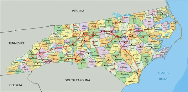
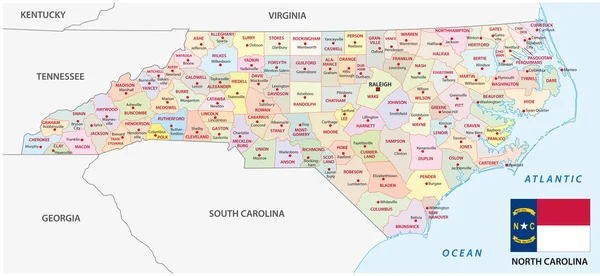
Stock vector north carolina administrative and political vector map with flag
Published: Jan.16, 2018 17:47:23
Author: Lesniewski
Views: 85
Downloads: 2
File type: vector / eps
File size: 1.95 MB
Orginal size: 6724 x 3100 px
Available sizes:
Level: bronze