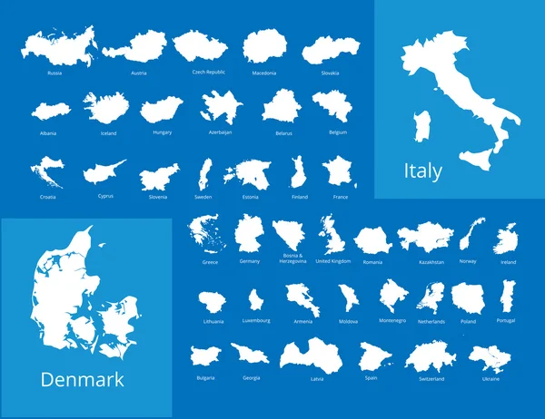
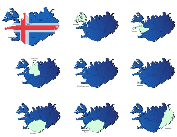
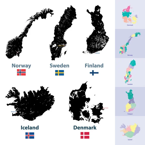
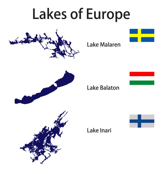
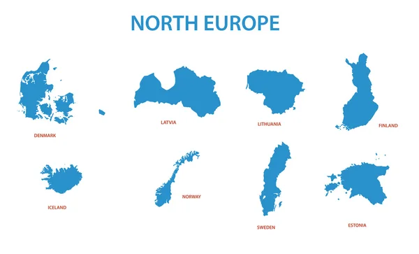
Stock vector north europe - vector maps of territories
Published: Apr.24, 2015 12:34:52
Author: pavalena
Views: 320
Downloads: 14
File type: vector / eps
File size: 0.38 MB
Orginal size: 8488 x 5148 px
Available sizes:
Level: bronze
Similar stock vectors

Colorful European Countries Political Map With Clearly Labeled, Separated Layers. Vector Illustration.
6494 × 5000