Home
Images
Vectors
Videos
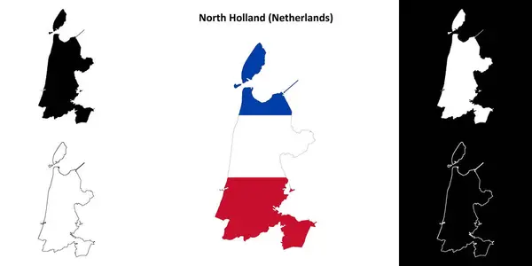
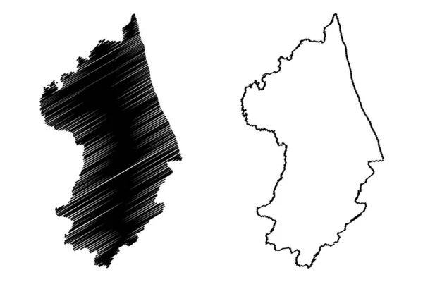
Stock vector North Holland province outline map set
Published:
Mar.28, 2024 16:44:40
Author:
davidzydd
Views:
0
Downloads:
0
File type:
vector
/
eps
File size:
0.98 MB
Orginal size:
6000
x
3000
px
Available sizes:
S
(500 x 250)
M
(1000 x 500)
L
(2000 x 1000)
XL
(6000 x 3000)
VECT
(6000 x 3000)
EL0
(6000 x 3000)
Level:
silver
Download Vector
Vector topics:
Design
Set
Travel
Border
Icon
Simple
Holland
Tourism
Collection
Outline
Map
Geography
Region
Boundaries
Maps
Atlas
Province
The Netherlands
North Holland
Outline Map
Vector Map
Netherlands Provinces
Holland Provinces
Noord Holland Map
North Holland Boundary
North Holland Contour Map
North Holland Map
North Holland Map Collection
North Holland Map Set
North Holland Province Map
North Holland Silhouette
North Holland Territory
North Holland Vector Map
Similar stock vectors
Batumi City (Republic Of Georgia, Autonomous Republic Of Adjara) Map Vector Illustration, Scribble Sketch City Of Batumi Map
7087 × 4726
Wanderley Municipality (Bahia State, Municipalities Of Brazil, Federative Republic Of Brazil) Map Vector Illustration, Scribble Sketch Wanderley Map
7087 × 4726
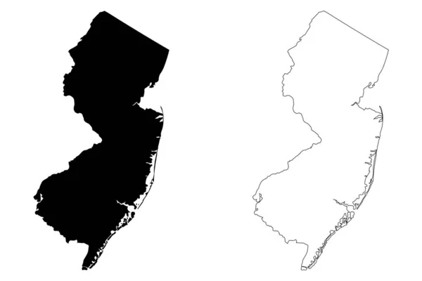
New Jersey NJ State Maps. Black Silhouette And Outline Isolated On A White Background. EPS Vector
12501 × 8334
Haarlem City (Kingdom Of The Netherlands, North Holland) Map Vector Illustration, Scribble Sketch City Of Haarlem Map
7087 × 4726
Tel Aviv City (State Of Israel) Map Vector Illustration, Scribble Sketch City Of Tel Aviv-Yafo Map
7087 × 4726
Lake Hancza (Republic Of Poland) Map Vector Illustration, Scribble Sketch Hacnza Or Ancia Map
7087 × 4726
Putnam County, State Of West Virginia (U.S. County, United States Of America, USA, U.S., US) Map Vector Illustration, Scribble Sketch Putnam Map
7087 × 4726
York County, Maine (U.S. County, United States Of America, USA, U.S., US) Map Vector Illustration, Scribble Sketch York Map
7087 × 4726