Home
Images
Vectors
Videos
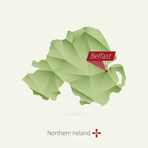
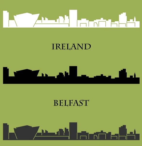
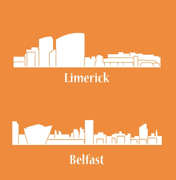
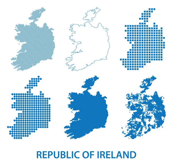
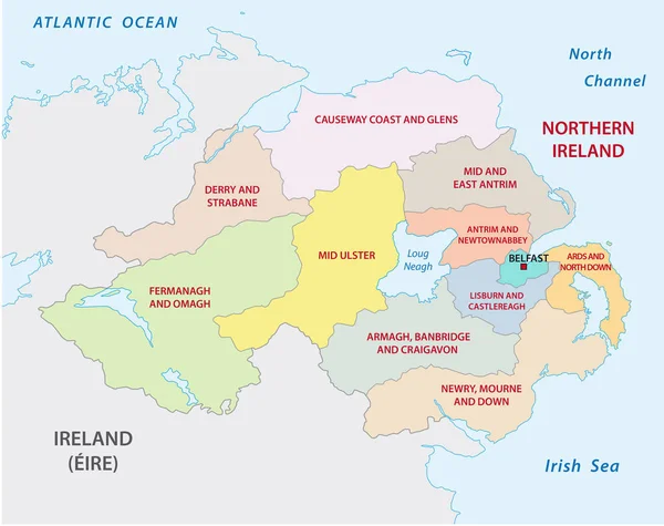
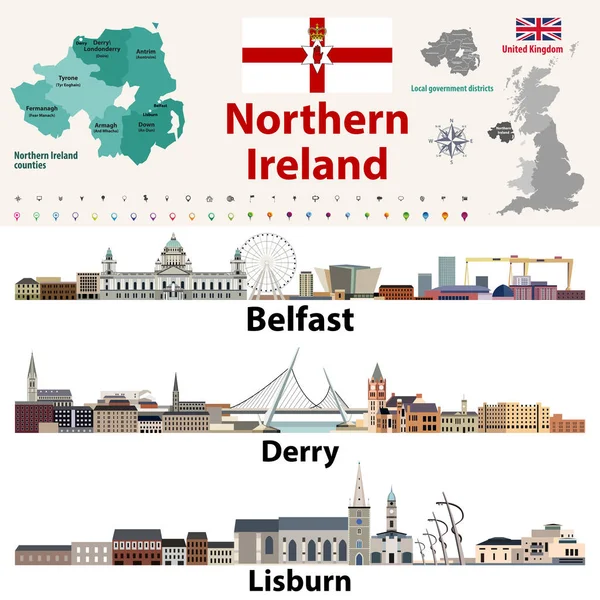
Stock vector Northern Ireland counties map and largest cities skylines. Vector set
Published:
Dec.04, 2018 11:31:37
Author:
Jktu_21
Views:
54
Downloads:
3
File type:
vector
/
eps
File size:
7.03 MB
Orginal size:
8333
x
8333
px
Available sizes:
S
(500 x 500)
M
(1000 x 1000)
L
(2000 x 2000)
XL
(8333 x 8333)
VECT
(8333 x 8333)
EL0
(8333 x 8333)
Level:
silver
Download Vector
Vector topics:
Vector
Illustration
Design
Set
Isolated
Sign
Travel
Flag
Symbol
Architecture
Building
City
Urban
Street
Tourism
Cityscape
Landmark
Town
Skyline
Europe
Map
Rooftop
Derry
Belfast
United Kingdom
Northern Ireland
Lisburn
Similar stock vectors
Republic Of Ireland
5119 × 6174
Republic Of Ireland Traditional Countries And Provinces Map And Irish Largest Cities Skylines. All Elements Separated In Editable And Detachable Layers. Vector Illustration
8333 × 8333
Provinces And Counties Of Ireland Vector Map
7292 × 5126
Green Gradient Low Poly Map Of Northern Ireland With Capital Belfast
5000 × 5000
Flat City Silhouette, Simple Vector Illustration
5362 × 5484
Set Of Flat City Silhouettes, Simple Vector Illustration
5362 × 5484
Map Of Republic Of Ireland - Vector Set Of Silhouettes In Different Patterns
5697 × 5517
Northern Ireland Administrative And Political Map
3914 × 3100