Home
Images
Vectors
Videos
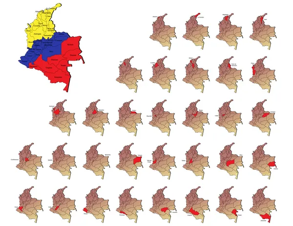
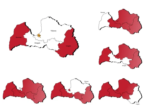
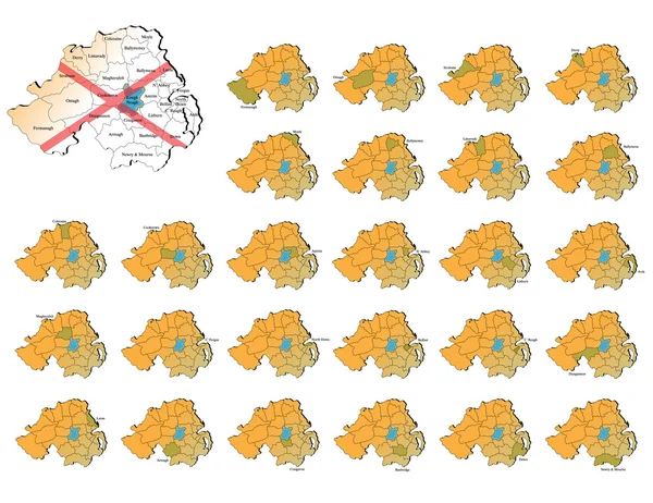
Stock vector Northern ireland provinces maps
Published:
Aug.05, 2013 14:50:09
Author:
lavinia4000
Views:
197
Downloads:
1
File type:
vector
/
eps
File size:
8.75 MB
Orginal size:
6000
x
4631
px
Available sizes:
S
(500 x 386)
M
(1000 x 772)
L
(2000 x 1544)
XL
(6000 x 4631)
VECT
(6000 x 4631)
EL0
(6000 x 4631)
Level:
beginner
Download Vector
Vector topics:
Color
Vector
Computer
Illustration
Design
Travel
European
Silhouette
Border
Flag
3d
Symbol
Icon
Drawing
Europe
Country
District
Map
Cartography
Geography
National
Ireland
State
Boundary
Island
Administrative
Of
Region
Boundaries
Maps
Atlas
Province
Irish
Nation
Bitmap
Belfast
European Union
Omagh
Armagh
Black Shadow
Cookstown
Ballymena
Northern Ireland
Strabane
Logh Neagh Lake
Craigavon
Lisburn
Coleraine
Similar stock vectors
Poland Province Borders - Layers ON Or OFF
4296 × 5043
Bulgaria Provinces Maps
6000 × 4629
Hungary Provinces Maps
6000 × 4636
Estonia Provinces Maps
6000 × 4636
Luxembourg Provinces Maps
6000 × 4636
Colombia Provinces Maps
6000 × 4636
Latvia Provinces Maps
6000 × 4636
Ukraine Provinces Maps
6000 × 4636