Home
Images
Vectors
Videos
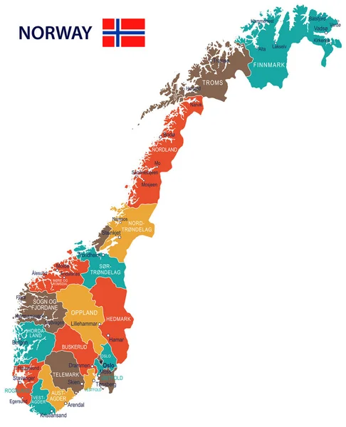
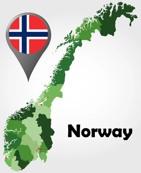
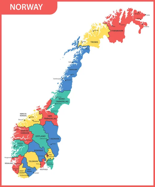
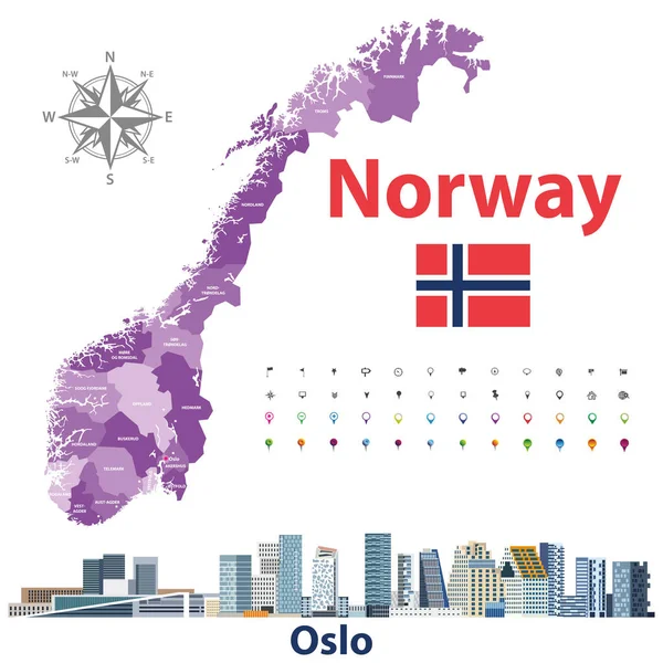
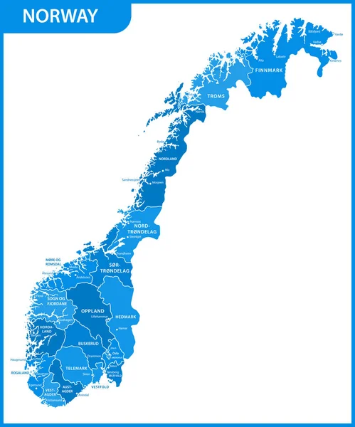
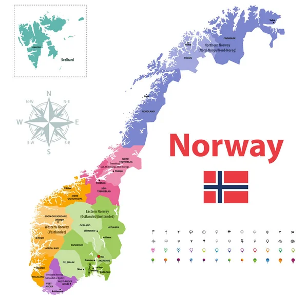
Stock vector Norway counties vector map, colored by regions
Published:
Jul.15, 2019 12:04:39
Author:
Jktu_21
Views:
261
Downloads:
3
File type:
vector
/
eps
File size:
7.01 MB
Orginal size:
8333
x
8148
px
Available sizes:
S
(500 x 489)
M
(1000 x 978)
L
(2000 x 1956)
XL
(8333 x 8148)
VECT
(8333 x 8148)
EL0
(8333 x 8148)
Level:
silver
Download Vector
Vector topics:
Vector
Graphic
Illustration
Design
Isolated
Sign
Travel
Border
Flag
Concept
Icon
City
Urban
Street
Tourism
Detailed
Scandinavia
Northern
Europe
Navigation
Eastern
Country
Western
Map
Cartography
Geography
National
Land
State
Topography
Administrative
Region
Southern
Norway
Oslo
Nation
County
Finnmark
Svalbard
Regions
Telemark
Rogaland
Nordland
Hordaland
Troms
Akershus
Oppland
Vestfold
Hedmark
Sentrum
Similar stock vectors
Norway - Map And Flag - Illustration
5900 × 7271
Norway Political Map
7000 × 8601
The Detailed Map Of The Norway With Regions Or States And Cities, Capitals
5000 × 6000
Detailed Norway Administrative Map With Country Flag And Location On A Blue Globe.
5282 × 6252
Norway Administrative Divisions Map And Cityscape Of Oslo. Location And Navigation Icons. Vector Illustration
8333 × 8333
The Detailed Map Of The Norway With Regions Or States And Cities, Capitals
5000 × 6000
Map Of Kingdom Of Norway - Vector Set Of Silhouettes In Different Patterns
5667 × 5894
Norway Map And National Flag Vector
5882 × 6767