Home
Images
Vectors
Videos
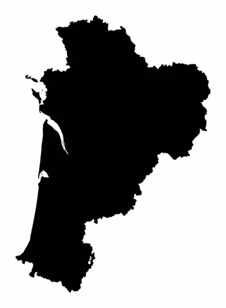
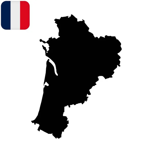
Stock vector Nouvelle-Aquitaine silhouette map isolated on white background, France
Published:
Jul.26, 2021 06:20:31
Author:
luisrftc
Views:
2
Downloads:
0
File type:
vector
/
eps
File size:
8.1 MB
Orginal size:
3672
x
5000
px
Available sizes:
S
(367 x 500)
M
(734 x 1000)
L
(1469 x 2000)
XL
(3672 x 5000)
VECT
(3672 x 5000)
EL0
(3672 x 5000)
Level:
bronze
Download Vector
Vector topics:
Vector
Background
Graphic
Illustration
Design
Isolated
Travel
Texture
European
French
Border
Gray
City
France
Tourism
Detailed
Town
Europe
Outline
Country
Map
Cartography
Geography
Plan
Area
National
State
Topography
Political
Administrative
Union
Department
Region
Division
Prefecture
Sub
Bordeaux
Territory
Province
Gironde
Boroughs
Aquitaine
Creuse
Charente
Charente Maritime
Vienne
Deux Svres
Nouvelle Aquitaine
Corrze
Similar stock vectors
Nouvelle-Aquitaine Dark Silhouette Map Isolated On White Background, France
3672 × 5000
The Navarre Region Map Isolated On White Background, Spain
4704 × 5000
Nouvelle-Aquitaine Administrative Map Isolated On White Background, France
3672 × 5000
Pays De La Loire Silhouette Map Isolated On White Background
5000 × 4830
Japan Map Prefecture Icon
4520 × 4520
Tuscany Dark Silhouette Map Isolated On White Background
5000 × 5000
Accurate Map Of Bahia
4000 × 5000
Nouvelle-Aquitaine Map. Region Of France. Vector Illustration.
8334 × 8334