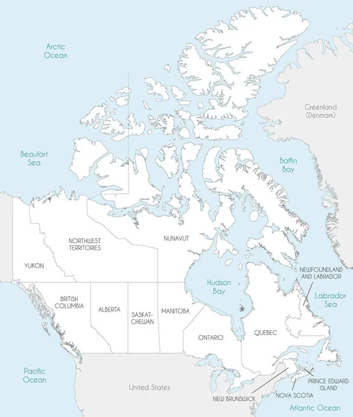
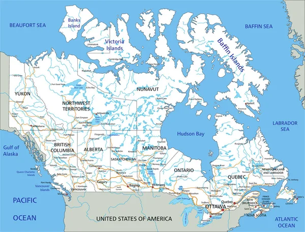
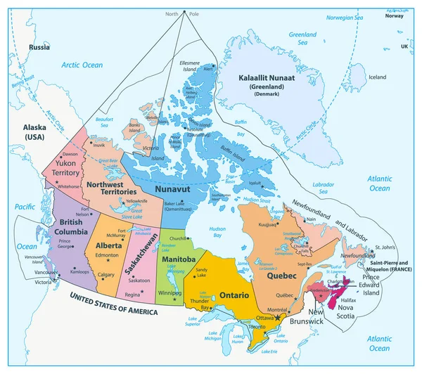
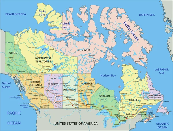
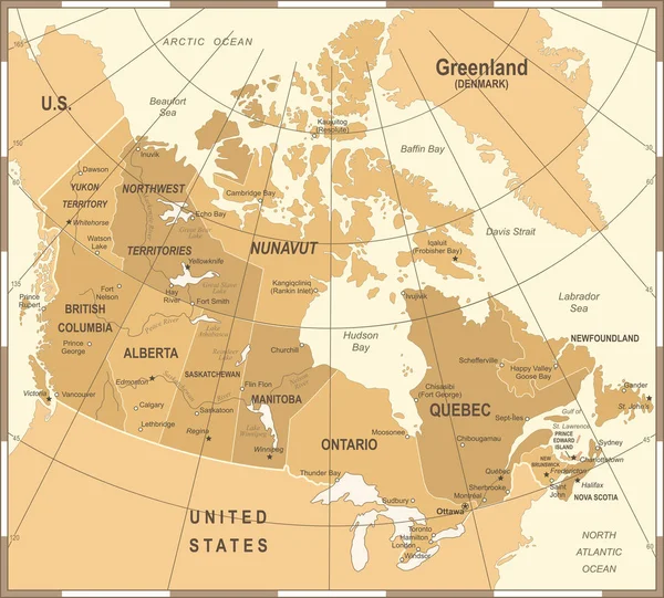
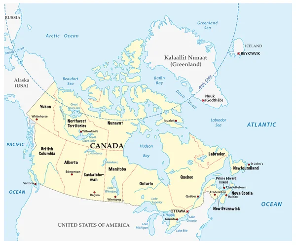
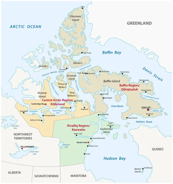
Stock vector Nunavut administrative and political vector map
Published: Jan.31, 2018 07:57:01
Author: Lesniewski
Views: 64
Downloads: 0
File type: vector / eps
File size: 1.68 MB
Orginal size: 3100 x 3291 px
Available sizes:
Level: bronze