Home
Images
Vectors
Videos
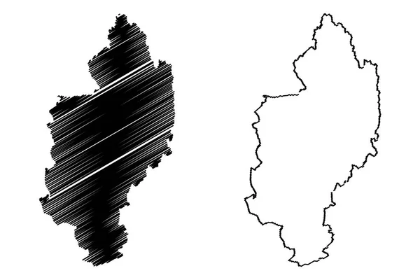
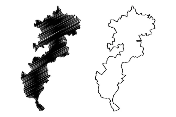
Stock vector Oberhavel district (Federal Republic of Germany, rural district, State of Brandenburg) map vector illustration, scribble sketch Oberhavel map
Published:
Jul.20, 2021 07:41:19
Author:
Danler
Views:
0
Downloads:
0
File type:
vector
/
eps
File size:
0.86 MB
Orginal size:
7087
x
4726
px
Available sizes:
S
(500 x 333)
M
(1000 x 667)
L
(2000 x 1334)
XL
(7087 x 4726)
VECT
(7087 x 4726)
EL0
(7087 x 4726)
Level:
bronze
Download Vector
Vector topics:
Vector
Illustration
Design
Isolated
Sign
Travel
Abstract
Texture
Black
Line
Silhouette
Border
Symbol
Icon
City
Flat
Contour
Simple
Drawing
Scratch
Tourism
Town
Europe
Sketch
Outline
Country
Map
Cartography
Geography
Area
National
Germany
State
Topography
Administrative
Republic
Delineation
Region
Scribble
Division
Insignia
Territory
Borderline
Patriotic
Province
Nation
County
Districts
Oblast
Oberhavel
Similar stock vectors
Kachin State (Administrative Divisions Of Myanmar, Republic Of The Union Of Myanmar, Burma) Map Vector Illustration, Scribble Sketch Kachin Map
7087 × 4726
Stoke-on-Trent City And Unitary Authority (United Kingdom Of Great Britain And Northern Ireland, Ceremonial County Staffordshire Or Staffs, England) Map Vector Illustration, Scribble Sketch Map
7087 × 4726
High Peak Non-metropolitan District And Borough (United Kingdom Of Great Britain And Northern Ireland, Ceremonial County Derbyshire, England) Map Vector Illustration, Scribble Sketch Map
7087 × 4726
Potenza Province (Italy, Italian Republic, Basilicata Or Lucania Region) Map Vector Illustration, Scribble Sketch Province Of Potenza Map
7087 × 4726
Vorarlberg (Republic Of Austria) Map Vector Illustration, Scribble Sketch Vorarlberg Map
7087 × 4724
Bad Tolz-Wolfratshausen District (Federal Republic Of Germany, Rural District Upper Bavaria, Free State Of Bavaria) Map Vector Illustration, Scribble Sketch Bad Tolz Wolfratshausen Map
7087 × 4726
Iwate Prefecture (Administrative Divisions Of Japan, Prefectures Of Japan) Map Vector Illustration, Scribble Sketch Iwate Map
7087 × 4726
Iguala Municipality (Free And Sovereign State Of Guerrero, Mexico, United Mexican States) Map Vector Illustration, Scribble Sketch Iguala De La Independencia Map
7087 × 4726