photo free
Home Images Vectors Videos

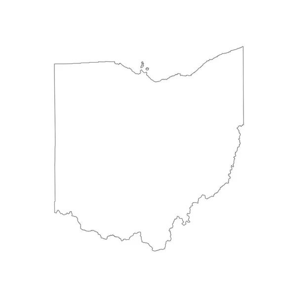
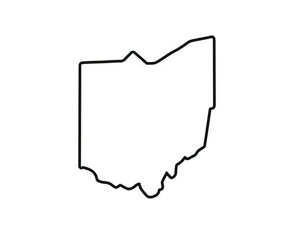
Stock vector Ohio OH state Maps. Black silhouette and outline isolated on a white background. EPS Vector

Stock vector Ohio OH state Maps. Black silhouette and outline isolated on a white background. EPS Vector
Published: May.05, 2020 13:24:57
Author: xileodesigns
Views: 0
Downloads: 0
File type: vector / eps
File size: 5.48 MB
Orginal size: 12501 x 8334 px
Available sizes:
S
(500 x 333)
M
(1000 x 667)
L
(2000 x 1333)
XL
(12501 x 8334)
VECT
(12501 x 8334)
EL0
(12501 x 8334)
Level: beginner
Download Vector
Vector topics:

Similar stock vectors

stock vector Blank Ohio vector map silhouette illustration isolated on white background. High detailed illustration. United state of America country. Empty editable Ohio map line contour.

Blank Ohio Vector Map Silhouette Illustration Isolated On White Background. High Detailed Illustration. United State Of America Country. Empty Editable Ohio Map Line Contour.

4975 × 5000
stock vector Tarauaca municipality (Acre state, Municipalities of Brazil, Federative Republic of Brazil) map vector illustration, scribble sketch Tarauaca map

Tarauaca Municipality (Acre State, Municipalities Of Brazil, Federative Republic Of Brazil) Map Vector Illustration, Scribble Sketch Tarauaca Map

7087 × 4726
stock vector Ohio Silhouette Pixelated pattern map illustration

Ohio Silhouette Pixelated Pattern Map Illustration

4000 × 4000
stock vector Ohio OH state Map USA with Capital City Star at Columbus. Black silhouette and outline isolated on a white background. EPS Vector

Ohio OH State Map USA With Capital City Star At Columbus. Black Silhouette And Outline Isolated On A White Background. EPS Vector

12501 × 8334
stock vector Gates County, North Carolina State (U.S. county, United States of America, USA, U.S., US) map vector illustration, scribble sketch Gates map

Gates County, North Carolina State (U.S. County, United States Of America, USA, U.S., US) Map Vector Illustration, Scribble Sketch Gates Map

7087 × 4726
stock vector Morehouse County, Louisiana (U.S. county, United States of America, USA, U.S., US) map vector illustration, scribble sketch Morehouse Parish map

Morehouse County, Louisiana (U.S. County, United States Of America, USA, U.S., US) Map Vector Illustration, Scribble Sketch Morehouse Parish Map

7087 × 4726
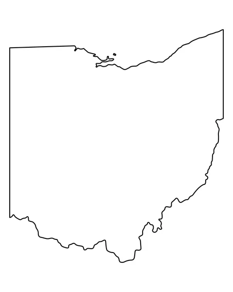
stock vector Accurate map of Ohio

Accurate Map Of Ohio

4000 × 5000
stock vector Ohio state map. US state map. Ohio outline symbol. Vector illustration

Ohio State Map. US State Map. Ohio Outline Symbol. Vector Illustration

5001 × 4001