Home
Images
Vectors
Videos
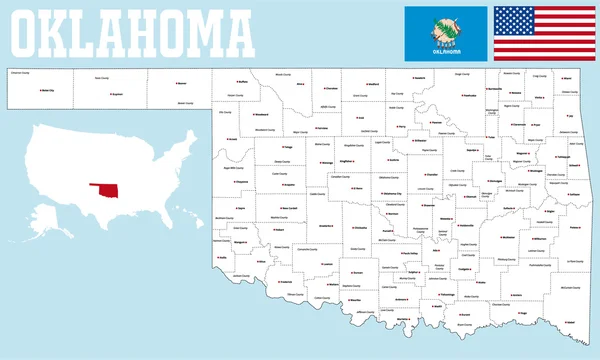
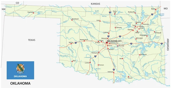
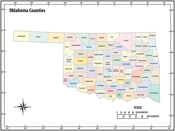
Stock vector Oklahoma state outline administrative and political vector map in color
Published:
Jan.25, 2019 15:21:40
Author:
Lesniewski
Views:
7
Downloads:
0
File type:
vector
/
eps
File size:
1.06 MB
Orginal size:
4138
x
3100
px
Available sizes:
S
(500 x 375)
M
(1000 x 749)
L
(2000 x 1498)
XL
(4138 x 3100)
VECT
(4138 x 3100)
EL0
(4138 x 3100)
Level:
bronze
Download Vector
Vector topics:
Color
White
Vector
Background
Colorful
Graphic
Illustration
Design
New
Travel
Black
Border
Contour
Scale
American
Usa
Detailed
Long
Outline
Country
District
Map
Cartography
Geography
Kilometers
State
America
Countries
Island
Political
Administrative
United
States
Region
Miles
Territory
Province
Nation
County
Mapping
Coordinates
Oklahoma
Counties
North America
United States
North Arrow
Similar stock vectors
Oklahoma State Outline Administrative And Political Vector Map In Black And White
4142 × 3100
Oklahoma State Outline Administrative And Political Vector Map In Color
4627 × 3100
Oklahoma State Outline Administrative And Political Vector Map In Color
4000 × 3765
Oklahoma State Outline Administrative And Political Vector Map In Black And White
4627 × 3100
Oklahoma County Map
5000 × 3005
Oklahoma State Outline Administrative And Political Vector Map In Black And White
4000 × 3853
Oklahoma Detailed Exact Detailed Vector State Map With Community Assistance And Activates Icons Original Pastel Yellow Illustration With Main Roads. United States Of Americ
5501 × 2840
Oklahoma Road Vector Map With Flag
5947 × 3100