photo free
Home Images Vectors Videos

Stock vector Old map

Stock vector Old map
Published: Aug.25, 2011 13:53:22
Author: Tawng
Views: 775
Downloads: 25
File type: vector / eps
File size: 3.65 MB
Orginal size: 3304 x 4204 px
Available sizes:
S
(393 x 500)
M
(786 x 1000)
L
(1572 x 2000)
XL
(3304 x 4204)
VECT
(3304 x 4204)
EL0
(3304 x 4204)
Level: silver
Download Vector
Vector topics:

Similar stock vectors

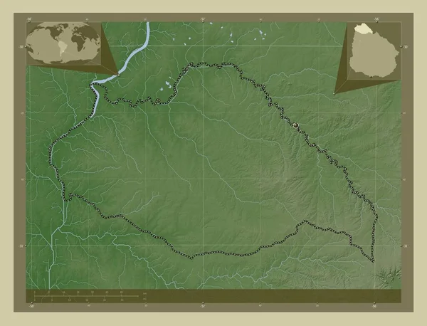
stock image Artigas, department of Uruguay. Elevation map colored in wiki style with lakes and rivers. Corner auxiliary location maps

Artigas, Department Of Uruguay. Elevation Map Colored In Wiki Style With Lakes And Rivers. Corner Auxiliary Location Maps

4930 × 3770
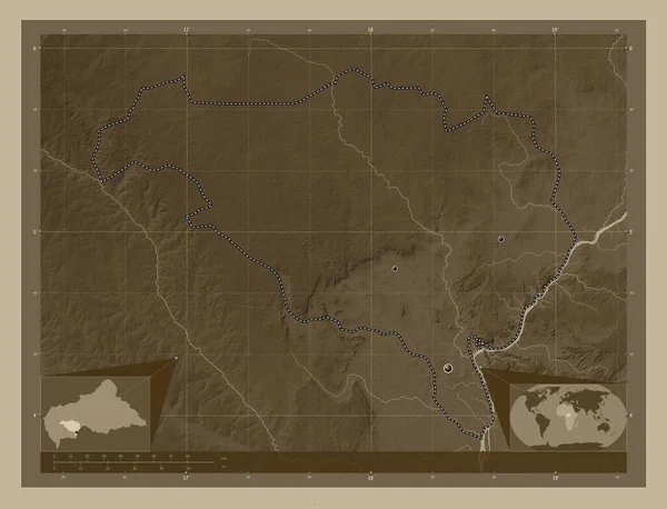
stock image Ombella-M'Poko, prefecture of Central African Republic. Elevation map colored in sepia tones with lakes and rivers. Locations of major cities of the region. Corner auxiliary location maps

Ombella-M'Poko, Prefecture Of Central African Republic. Elevation Map Colored In Sepia Tones With Lakes And Rivers. Locations Of Major Cities Of The Region. Corner Auxiliary Location Maps

4930 × 3770
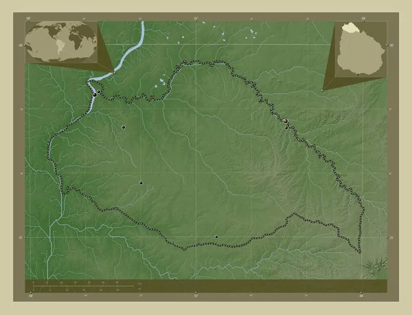
stock image Artigas, department of Uruguay. Elevation map colored in wiki style with lakes and rivers. Locations of major cities of the region. Corner auxiliary location maps

Artigas, Department Of Uruguay. Elevation Map Colored In Wiki Style With Lakes And Rivers. Locations Of Major Cities Of The Region. Corner Auxiliary Location Maps

4930 × 3770
stock image Lower River, division of Gambia. Elevation map colored in wiki style with lakes and rivers. Locations of major cities of the region. Corner auxiliary location maps

Lower River, Division Of Gambia. Elevation Map Colored In Wiki Style With Lakes And Rivers. Locations Of Major Cities Of The Region. Corner Auxiliary Location Maps

4930 × 3770
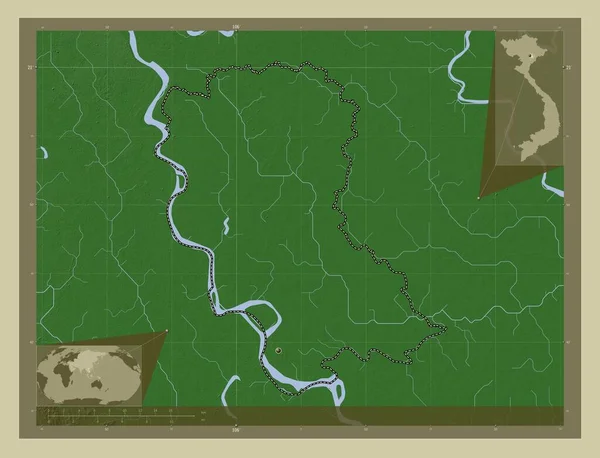
stock image Hung Yen, province of Vietnam. Elevation map colored in wiki style with lakes and rivers. Locations of major cities of the region. Corner auxiliary location maps

Hung Yen, Province Of Vietnam. Elevation Map Colored In Wiki Style With Lakes And Rivers. Locations Of Major Cities Of The Region. Corner Auxiliary Location Maps

4930 × 3770
stock image Sankuru, province of Democratic Republic of the Congo. Elevation map colored in sepia tones with lakes and rivers. Corner auxiliary location maps

Sankuru, Province Of Democratic Republic Of The Congo. Elevation Map Colored In Sepia Tones With Lakes And Rivers. Corner Auxiliary Location Maps

4930 × 3770
stock image Ombella-M'Poko, prefecture of Central African Republic. Elevation map colored in sepia tones with lakes and rivers. Corner auxiliary location maps

Ombella-M'Poko, Prefecture Of Central African Republic. Elevation Map Colored In Sepia Tones With Lakes And Rivers. Corner Auxiliary Location Maps

4930 × 3770
stock image Tandjile, region of Chad. Elevation map colored in sepia tones with lakes and rivers. Locations of major cities of the region. Corner auxiliary location maps

Tandjile, Region Of Chad. Elevation Map Colored In Sepia Tones With Lakes And Rivers. Locations Of Major Cities Of The Region. Corner Auxiliary Location Maps

4930 × 3770