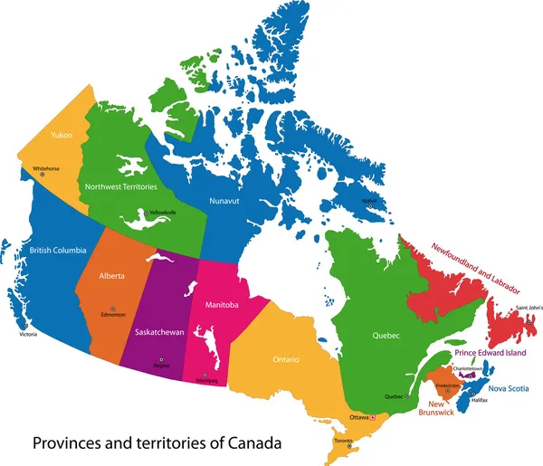
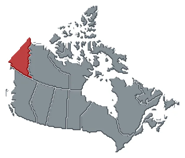
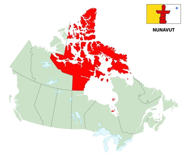
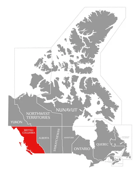
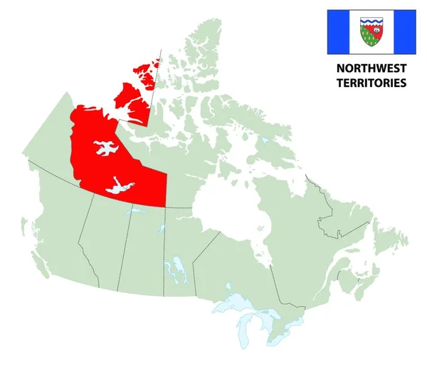
Stock vector outline map of Canada's northwest territories with flag
Published: Mar.30, 2020 14:07:24
Author: PantherMediaSeller
Views: 3
Downloads: 2
File type: vector / zip
File size: 0 MB
Orginal size: 6432 x 5488 px
Available sizes:
Level: platinum