photo free
Home Images Vectors Videos

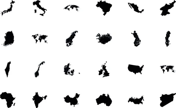
Stock vector Outline maps of European countries. All the countries of Europe. Isolated vector illustration.

Stock vector Outline maps of European countries. All the countries of Europe. Isolated vector illustration.
Published: Nov.22, 2019 16:01:01
Author: Yusiki
Views: 17
Downloads: 0
File type: vector / eps
File size: 3.12 MB
Orginal size: 8335 x 5418 px
Available sizes:
S
(500 x 325)
M
(1000 x 650)
L
(2000 x 1300)
XL
(8335 x 5418)
VECT
(8335 x 5418)
EL0
(8335 x 5418)
Level: beginner
Download Vector
Vector topics:

Similar stock vectors

stock vector Outline maps of European countries. All the countries of Europe. Isolated vector illustration.

Outline Maps Of European Countries. All The Countries Of Europe. Isolated Vector Illustration.

8335 × 5418
stock vector a map of the country of the state of israel

A Map Of The Country Of The State Of Israel

4000 × 3004
stock vector Illustrated Country Outlines on White Background

Illustrated Country Outlines On White Background

4167 × 4167
stock vector map of the world. vector illustration.

Map Of The World. Vector Illustration.

4000 × 3000
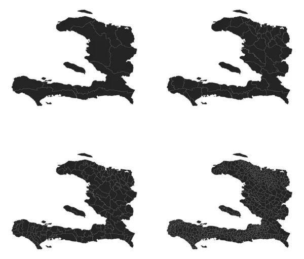
stock vector Haiti vector maps with administrative regions, municipalities, departments, borders

Haiti Vector Maps With Administrative Regions, Municipalities, Departments, Borders

4816 × 4107
stock vector City silhouette 15

City Silhouette 15

5879 × 6030
stock vector Ink splatters

Ink Splatters

4201 × 3302
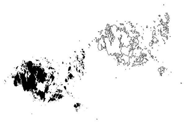
stock vector Aland Islands Region (Republic of Finland) map vector illustration, scribble sketch Aland map

Aland Islands Region (Republic Of Finland) Map Vector Illustration, Scribble Sketch Aland Map

7087 × 4726