Home
Images
Vectors
Videos
Stock vector Overijssel province outline map set
Published:
Mar.28, 2024 16:44:40
Author:
davidzydd
Views:
0
Downloads:
0
File type:
vector
/
eps
File size:
0.43 MB
Orginal size:
6000
x
3000
px
Available sizes:
S
(500 x 250)
M
(1000 x 500)
L
(2000 x 1000)
XL
(6000 x 3000)
VECT
(6000 x 3000)
EL0
(6000 x 3000)
Level:
silver
Download Vector
Vector topics:
Illustration
Design
Border
Blank
Button
Contour
Netherlands
Tourism
Collection
Map
Area
Boundary
Administrative
Region
Boundaries
Province
Eps
Overijssel
The Netherlands
Vector Map
Map Collection
Overijssel Province
Holland Provinces
Overijssel Boundaries
Overijssel Boundary Map
Overijssel Icon
Overijssel Illustration
Overijssel Map
Overijssel Map Isolated
Overijssel Map Outline
Overijssel Map Set
Overijssel Maps
Overijssel Outline
Overijssel Outline Map
Overijssel Outline Maps
Overijssel Province Map
Overijssel Silhouette
Overijssel Vector Map
Blank Overijssel Map
Empty Overijssel Map
Isolated Overijssel Map
Outline Map Of Overijssel
Vector Map Of Overijssel
Similar stock vectors
Drenthe Outline Map Set
6000 × 3000
Simple Map Of Czechia Vector Drawing. Mercator Projection. Filled And Outline Version.
8000 × 2000
CINCINATI Map Colorful Silhouette On White Background
5000 × 3000
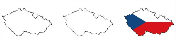
Set Of Political Maps Of Czech Republic With Regions And Flag Map Isolated On White Background
8100 × 2000
3D Map Of Serbia (Republic Of Serbia) - Black, Red, Blue And Green - Vector Illustration
7087 × 4724
LECCE Map Silhouette On White Background
5000 × 3000
AUSTRIA Map Colorful Silhouette On White Background
5000 × 3000
Halftone Guyana Map
7200 × 4946