Home
Images
Vectors
Videos
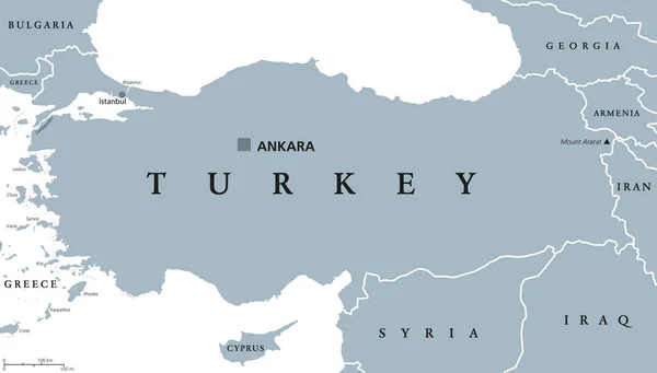
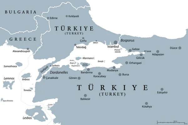
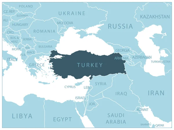
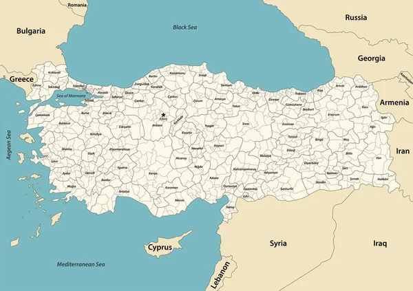
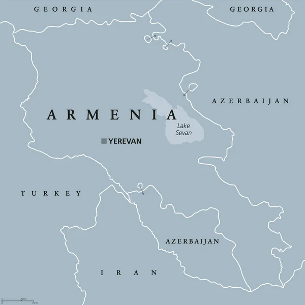
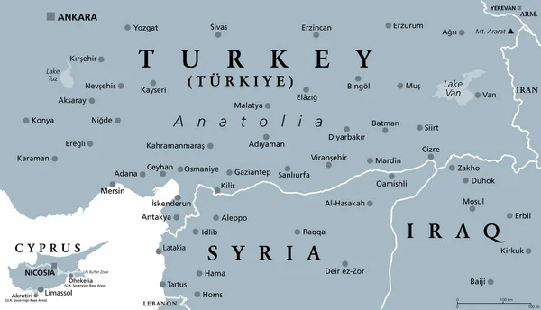
Stock vector Part of the Turkish peninsula of Anatolia, gray political map. Geographical regions of Turkey, Eastern and Southeastern Anatolia, and parts of the Mediterranean Region, and Cyprus, Syria and Iraq.
Published:
Apr.23, 2023 11:45:58
Author:
Furian
Views:
6
Downloads:
0
File type:
vector
/
eps
File size:
2.25 MB
Orginal size:
9000
x
5175
px
Available sizes:
S
(500 x 288)
M
(1000 x 575)
L
(2000 x 1150)
XL
(9000 x 5175)
VECT
(9000 x 5175)
EL0
(9000 x 5175)
Level:
silver
Download Vector
Vector topics:
Vector
Illustration
Travel
Border
Gray
City
Capital
Northern
Eastern
Sailing
Country
Map
Cartography
Geography
Land
Mediterranean
Turkey
Cyprus
Overview
Asia
State
Turkish
Political
Destination
Republic
Nicosia
Anatolia
Region
Iraq
Atlas
Peninsula
Nation
Syria
Mapping
Minor
Geographical
Aleppo
Southeastern
Ankara
Konya
Adana
Gaziantep
Diyarbakır
Mersin
Infographic
Mosul
Asia Minor
Western Asia
Mount Ararat
Turkey Map
Similar stock vectors
Turkey Political Map
10666 × 6081
Bosphorus And Dardanelles, Gray Political Map. The Turkish Straits, Internationally Significant, Narrow Waterways In Turkey. Passages, Connecting The Aegean Sea And Sea Of Marmara With The Black Sea.
9000 × 6000
Turkey - Blue Map With Neighboring Countries And Names. Vector Illustration
6522 × 4910
Bosporus And Dardanelles, Political Map. The Turkish Straits, Internationally Significant And Narrow Waterways In Turkey. Passages, Connecting The Aegean Sea And The Sea Of Marmara With The Black Sea.
9000 × 6000
Turkey Provinces And Districts Vector Map With Neighbouring Countries And Territories
8334 × 5883
Terrorist Attack In Semdinli District Of Hakkari Province Of Tur
3333 × 2236
Armenia Political Map
8033 × 8033