Home
Images
Vectors
Videos
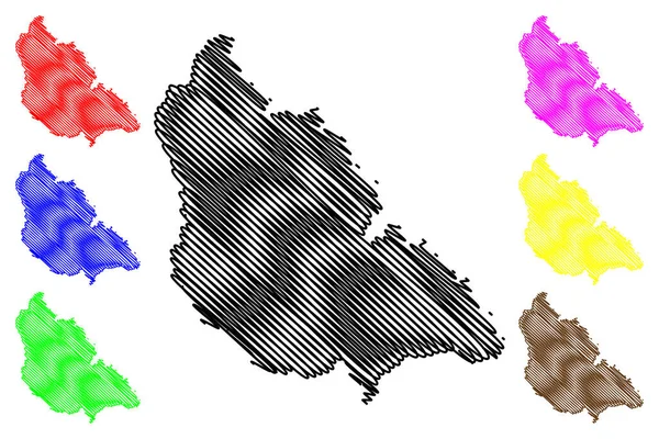
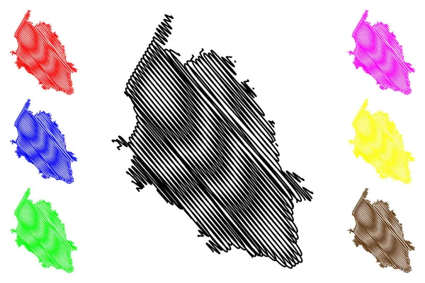
Stock vector Pas-de-Calais Department (France, French Republic, Hauts-de-France region) map vector illustration, scribble sketch Pas de Calais map
Published:
Aug.11, 2020 15:56:23
Author:
Danler
Views:
0
Downloads:
0
File type:
vector
/
eps
File size:
1.41 MB
Orginal size:
7087
x
4726
px
Available sizes:
S
(500 x 333)
M
(1000 x 667)
L
(2000 x 1334)
XL
(7087 x 4726)
VECT
(7087 x 4726)
EL0
(7087 x 4726)
Level:
bronze
Download Vector
Vector topics:
Vector
Background
Illustration
Design
Isolated
Sign
Travel
Abstract
Texture
Black
Line
Silhouette
Border
Icon
City
Flat
Contour
Drawing
World
France
Scratch
Tourism
Town
Europe
Sketch
Outline
Country
Map
Cartography
Geography
Area
National
Continent
State
Topography
Administrative
Republic
Region
Scribble
Division
Insignia
Territory
Patriotic
Province
County
Districts
Autonomy
Oblast
Arras
Pas De Calais
Similar stock vectors
Kishtwar District (Jammu And Kashmir Union Territory, Republic Of India) Map Vector Illustration, Scribble Sketch Kishtwar Map
7087 × 4726
Antonio Cardoso Municipality (Bahia State, Municipalities Of Brazil, Federative Republic Of Brazil) Map Vector Illustration, Scribble Sketch Antonio Cardoso Map
7087 × 4726
Kolar District (Karnataka State, Republic Of India, Bangalore Division) Map Vector Illustration, Scribble Sketch Kolar Map
7087 × 4726
Verona Province (Italy, Italian Republic, Veneto Or Venetia Region) Map Vector Illustration, Scribble Sketch Province Of Verona Map
7087 × 4726
Osterholz District (Federal Republic Of Germany, Rural District, State Of Lower Saxony) Map Vector Illustration, Scribble Sketch Osterholz Map
7087 × 4726
Lewes Non-metropolitan District (United Kingdom Of Great Britain And Northern Ireland, Ceremonial County East Sussex, England) Map Vector Illustration, Scribble Sketch Map
7087 × 4726
Herzogtum Lauenburg District (Federal Republic Of Germany, Rural District, Free State Of Schleswig-Holstein, Slesvig Holsten) Map Vector Illustration, Scribble Sketch Kreis Herzogtum Lauenburg Map
7087 × 4726
Marinette County, State Of Wisconsin (U.S. County, United States Of America, US) Map Vector Illustration, Scribble Sketch Marinette Map
7087 × 4726