Home
Images
Vectors
Videos
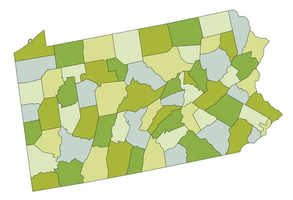
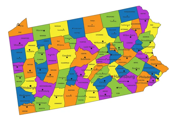
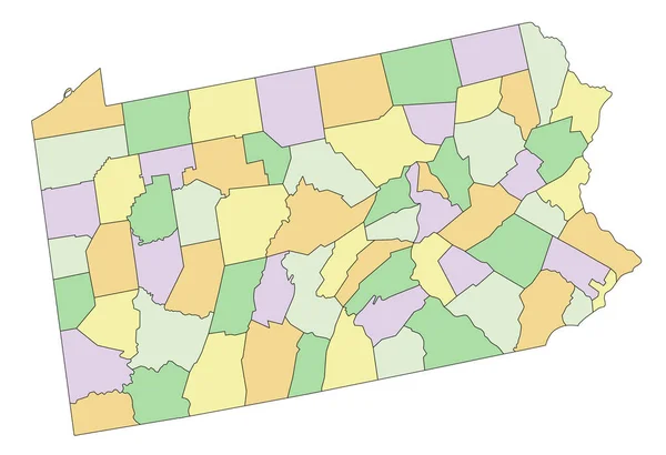
Stock vector Pennsylvania - Highly detailed editable political map.
Published:
May.04, 2023 06:55:38
Author:
delpieroo
Views:
0
Downloads:
0
File type:
vector
/
eps
File size:
5.78 MB
Orginal size:
4219
x
2886
px
Available sizes:
S
(500 x 342)
M
(1000 x 684)
L
(2000 x 1368)
XL
(4219 x 2886)
VECT
(4219 x 2886)
EL0
(4219 x 2886)
Level:
bronze
Download Vector
Vector topics:
Blue
Vector
Background
Colored
Illustration
Label
Travel
Sea
Road
Pastel
City
Contour
American
Us
Usa
Ocean
Town
Capital
South
Outline
Country
District
Map
Cartography
Geography
National
Continent
Land
State
Pittsburgh
Topography
Political
Interstate
Atlantic
Politics
Geographic
Editable
Territory
Atlas
County
Mapping
Rivers
Shaded
Keystone
Pennsylvania
Philadelphia
Harrisburg
United States Of America
Lake Erie
Similar stock vectors
Highly Detailed Editable Political Map With Separated Layers. Pennsylvania.
4219 × 2886
West Virginia - Highly Detailed Editable Political Map With Labeling.
3373 × 3359
Colorful Pennsylvania Political Map With Clearly Labeled, Separated Layers. Vector Illustration.
4219 × 2886
Accurate Map Of Pennsylvania
5000 × 4000
Indiana - Highly Detailed Editable Political Map.
3392 × 4765
Highly Detailed Editable Political Map With Separated Layers. Oregon.
5093 × 4825
Highly Detailed Pennsylvania Blind Map.
4219 × 2886
Oregon - Highly Detailed Editable Political Map.
5093 × 4825