Home
Images
Vectors
Videos
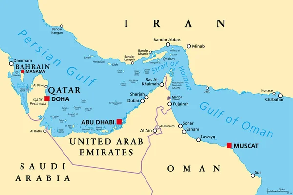
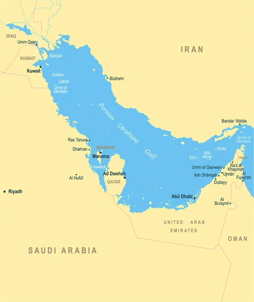
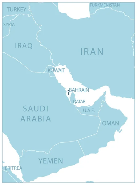
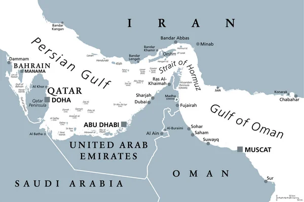
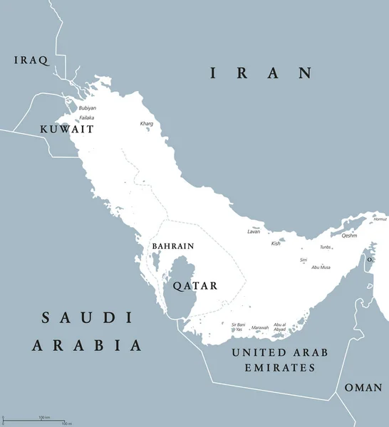
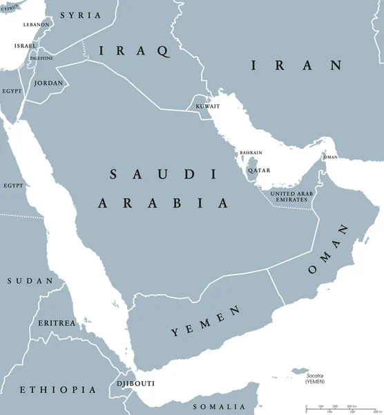
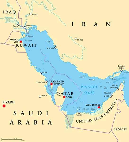
Stock vector Persian Gulf region political map
Published:
Jun.19, 2017 04:56:50
Author:
Furian
Views:
1730
Downloads:
11
File type:
vector
/
eps
File size:
2.92 MB
Orginal size:
7593
x
8333
px
Available sizes:
S
(456 x 500)
M
(911 x 1000)
L
(1822 x 2000)
XL
(7593 x 8333)
VECT
(7593 x 8333)
EL0
(7593 x 8333)
Level:
silver
Download Vector
Vector topics:
Vector
Illustration
Labeling
Capital
Country
Map
Cartography
Geography
Persian
Arab
Gulf
United
Region
Strait
Iraq
English
Qatar
Atlas
Arabia
Uae
Emirates
Dubai
Saudi
Oman
Tigris
Iran
Bahrain
Kuwait
Doha
Riyadh
Manama
Euphrates
Saudi Arabia
Abu Dhabi
Persian Gulf
Hormuz
Political Map
Bushehr
Gulf States
Qeshm
Al Arab
Strait Of Hormuz
Arab States
Shatt
Shatt Al Arab
Similar stock vectors
Strait Of Hormuz, Political Map. Waterway Between Persian Gulf And Gulf Of Oman, A Strategically Extremely Important Choke Point, With Iran To The North And UAE And Oman Exclave Musandam To The South.
9000 × 6000
Persian Gulf Map - Vector Illustration
5500 × 6530
Arabian Peninsula Political Map
9311 × 7224
Bahrain - Blue Map With Neighboring Countries And Names. Vector Illustration
4883 × 6574
Strait Of Hormuz, Gray Political Map. Waterway Between Persian Gulf And Gulf Of Oman. Strategically Very Important Choke Point, With Iran To The North And UAE And Oman Exclave Musandam To The South.
9000 × 5997
Persian Gulf Region Political Map Blue Gray
7593 × 8333
Arabian Peninsula Countries Political Map
7725 × 8333
Persian Gulf Map - Vector Illustration
5500 × 6530