Home
Images
Vectors
Videos
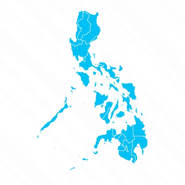
Stock vector Philippines Detailed Map With Regions
Published:
Aug.22, 2024 06:08:18
Author:
Abdelkadirbasti
Views:
0
Downloads:
0
File type:
vector
/
eps
File size:
1.17 MB
Orginal size:
2401
x
2401
px
Available sizes:
S
(500 x 500)
M
(1000 x 1000)
L
(2000 x 2000)
XL
(2401 x 2401)
VECT
(2401 x 2401)
EL0
(2401 x 2401)
Level:
beginner
Download Vector
Vector topics:
Color
Vector
Background
Colorful
Colored
Illustration
Design
Isolated
Shape
Business
Travel
Silhouette
Border
Multicolor
Symbol
Concept
Icon
City
Flat
Contour
World
Detailed
Outline
Country
Map
Cartography
Geography
National
State
Chart
Politics
Division
Province
Nation
Philippines
Regions
Navigational Equipment
Geographical Locations
Detailed Map
Philippines Map
Philippines Regions
Divided Map
Philippines Provinces
Philippines Cities
Similar stock vectors
Philippines Political Map Of Administrative Divisions - Regions. Colorful Spectrum Political Map With Labels And Country Name.
8000 × 8000
Map Icon Of Philippines. Blue Map Of Asia With Highlighted Philippines
5000 × 5000
Philippines Map, Administrative Division, Separate Individual Regions With Names, Color Map Isolated On White Background Vector
4100 × 4100
Flat Design Map Of Philippines With Details
2401 × 2401
Map Of The Country Of Philippines
3125 × 3125
Philippines Map With Camouflage Pattern, Forest - Green Texture In Map. Military Concept For Army, Soldier And War. Coat Of Arms, Flag.
6000 × 4200
Philippines Map Country Poster With Colored Regions Old Grunge Texture Vector Illustration Of
4382 × 6846