Home
Images
Vectors
Videos
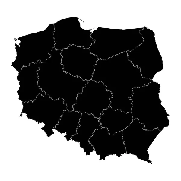
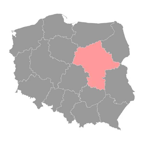
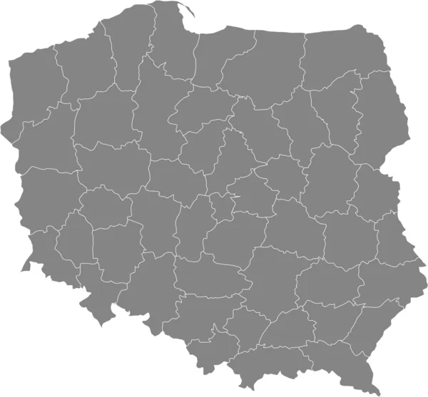
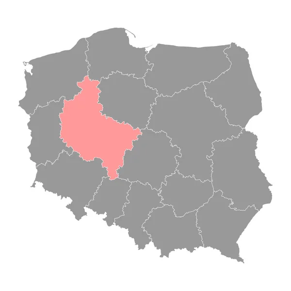
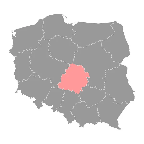
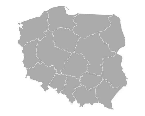
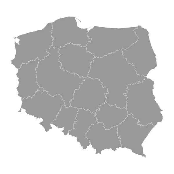
Stock vector Poland gray map with provinces. Vector illustration.
Published:
Apr.16, 2023 11:48:48
Author:
majborodinruslan1990.icloud.com
Views:
4
Downloads:
0
File type:
vector
/
eps
File size:
5.78 MB
Orginal size:
8334
x
8334
px
Available sizes:
S
(500 x 500)
M
(1000 x 1000)
L
(2000 x 2000)
XL
(8334 x 8334)
VECT
(8334 x 8334)
EL0
(8334 x 8334)
Level:
beginner
Download Vector
Vector topics:
Vector
Graphic
Illustration
Design
Isolated
Sign
Texture
Line
Silhouette
Border
Banner
Gray
Symbol
Icon
Contour
Simple
Drawing
Template
Detailed
Capital
Europe
Outline
Country
District
Map
Cartography
Geography
Area
National
State
Chart
Topography
Boundary
Political
Administrative
Region
Division
Poland
Federal
Territory
Atlas
Province
County
Mapping
Voivodeship
Cut Out
Similar stock vectors
Poland Regions Map
5000 × 5000
Poland Map With Provinces. Vector Illustration.
8334 × 8334
Masovian Voivodeship Map, Province Of Poland. Vector Illustration.
4000 × 4000
Black Poland Map
7004 × 6643
Map Of Poland
6924 × 6431
Greater Poland Voivodeship Map, Province Of Poland. Vector Illustration.
4000 × 4000
Lodz Voivodeship Map, Province Of Poland. Vector Illustration.
4000 × 4000
Map Of Poland
5000 × 4000