Home
Images
Vectors
Videos
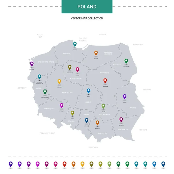
Stock vector Poland vector map. Editable template with regions, cities, red pins and blue surface on white background.
Published:
Nov.27, 2018 14:07:17
Author:
molokowall
Views:
14
Downloads:
2
File type:
vector
/
eps
File size:
1.22 MB
Orginal size:
3000
x
3000
px
Available sizes:
S
(500 x 500)
M
(1000 x 1000)
L
(2000 x 2000)
XL
(3000 x 3000)
VECT
(3000 x 3000)
EL0
(3000 x 3000)
Level:
bronze
Download Vector
Vector topics:
Red
White
Blue
Vector
Background
Circle
Isolated
Travel
Border
Symbol
City
Button
Contour
Information
Pin
Education
World
Template
Town
Globe
Identity
Outline
Country
District
Map
Cartography
Geography
Continent
Land
Ground
State
Topography
Location
Political
Politics
Geographic
Region
Editable
Poland
Territory
Atlas
Nation
Subdivision
Mapping
Infographic
Travel Map
Poland Map
Vector Map
Similar stock vectors
Stylized Vector Poland Map Showing Big Cities, Capital Warsaw, Administrative Divisions And Country Borders.
3000 × 3000
Poland Map With Location Pointer Marks. Infographic Vector Template, Isolated On White Background.
4000 × 4000
Poland Map With Borders, Cities, Capital And Administrative Divisions. Infographic Vector Map. Editable Layers Clearly Labeled.
3000 × 3000
Poland Vector Map With Infographic Elements, Pointer Marks.
4000 × 4000
Poland Map Blue White Card Paper 3D Vector
4110 × 4022
Poland Vector Map Infographic Template. Slide Presentation. Warsaw, Krakow, Gdansk, Szczecin, Poznan, Lublin. Color Europe Country. World Transportation Geography Data.
6667 × 3751
Map Of Poland
5000 × 4724
Isometric 3D Poland Map. Stylized Vector Map Illustration With Cities, Borders, Capital, Administrative Divisions And Pointer Marks; Gradient Background With Grid.
4000 × 3000