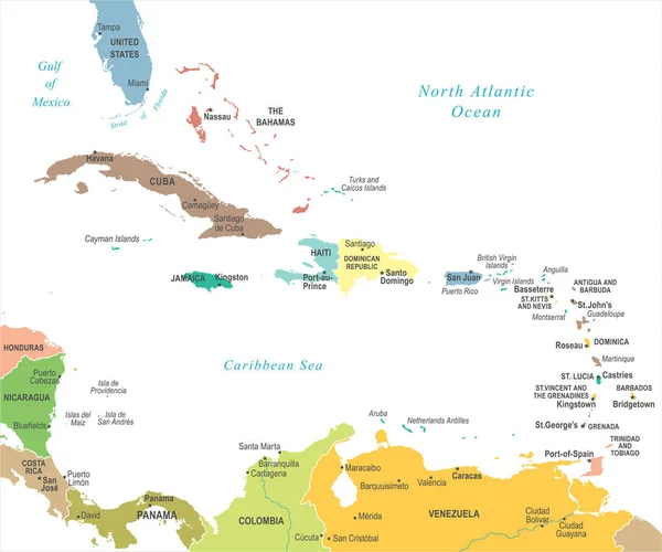
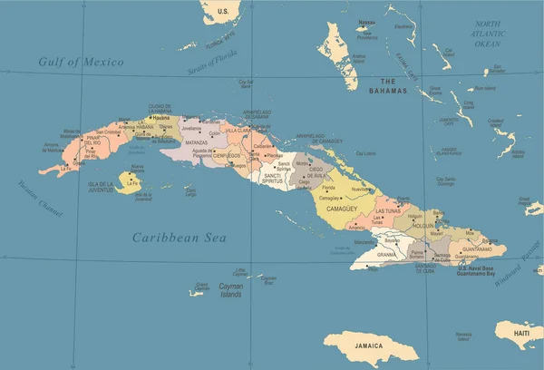
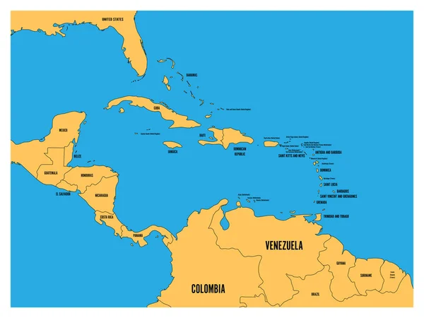
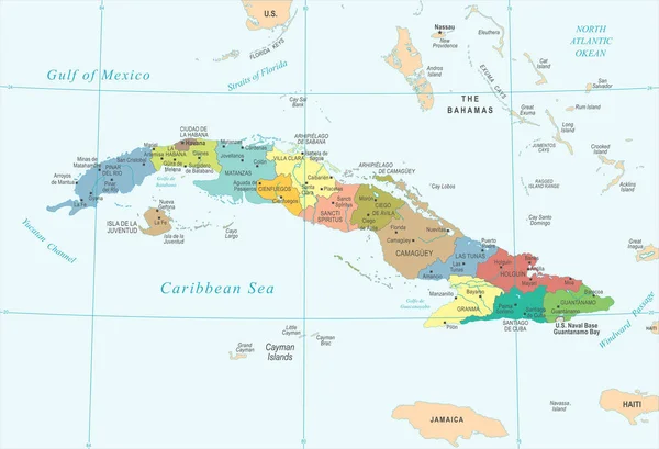
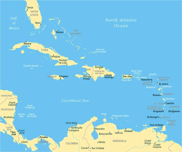
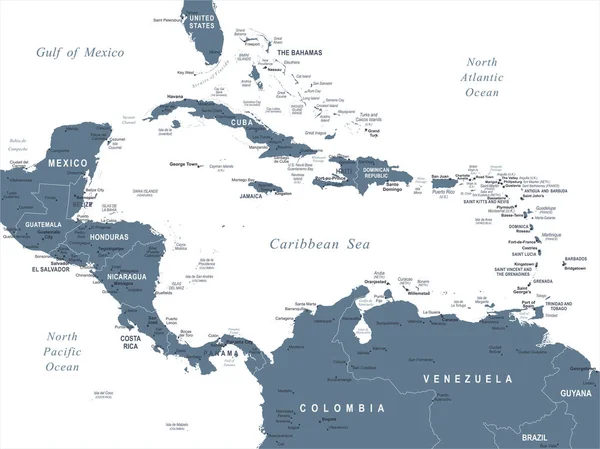
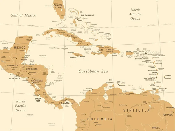
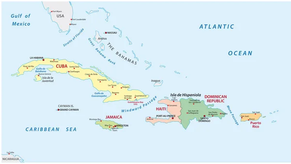
Stock vector Political and administrative map of the lesser antilles
Published: Feb.08, 2017 09:43:34
Author: Lesniewski
Views: 490
Downloads: 4
File type: vector / eps
File size: 1 MB
Orginal size: 5490 x 3100 px
Available sizes:
Level: bronze