Home
Images
Vectors
Videos
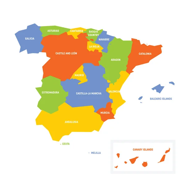
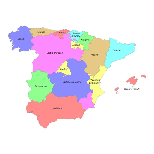
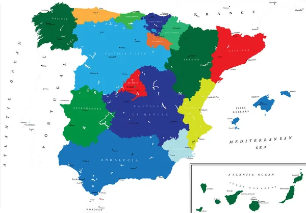
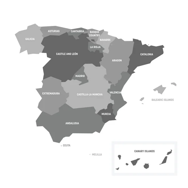
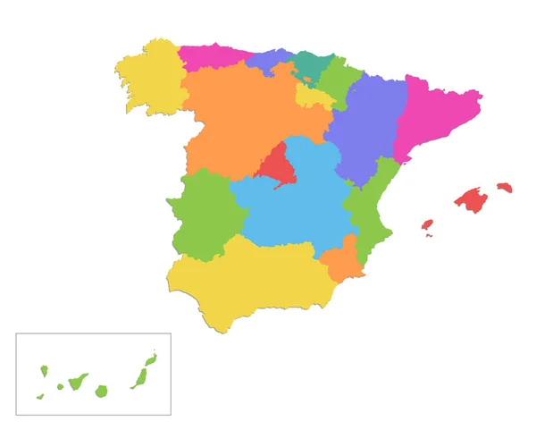
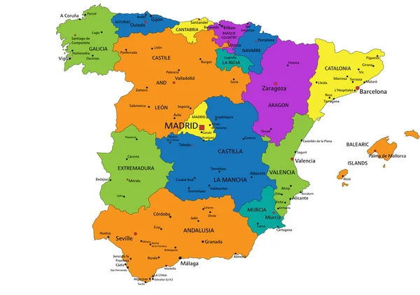
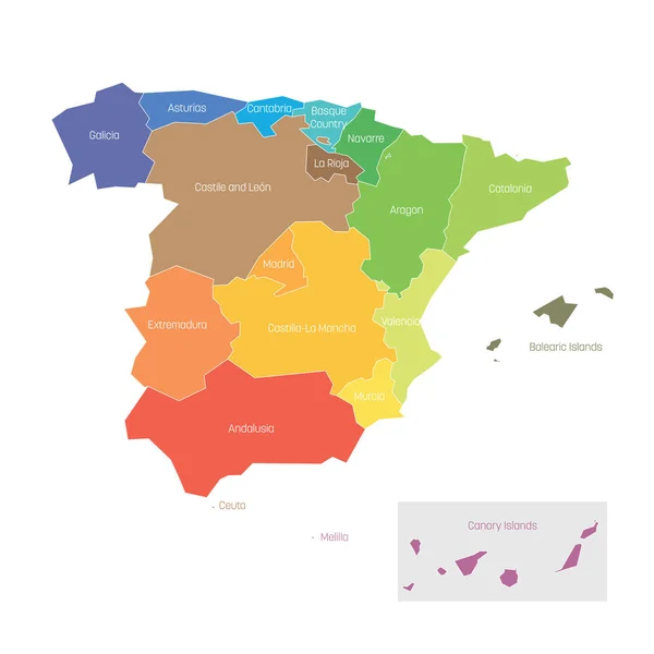
Stock vector Political divisions of Spain. Map of regional country administrative divisions. Colorful vector illustration
Published:
May.03, 2019 07:51:03
Author:
pyty
Views:
13
Downloads:
0
File type:
vector
/
eps
File size:
0.38 MB
Orginal size:
6000
x
6000
px
Available sizes:
S
(500 x 500)
M
(1000 x 1000)
L
(2000 x 2000)
XL
(6000 x 6000)
VECT
(6000 x 6000)
EL0
(6000 x 6000)
Level:
silver
Download Vector
Vector topics:
Color
Vector
Background
Colorful
Graphic
Colored
Illustration
Design
Shape
Label
Silhouette
Border
Modern
Flat
Part
Contour
Simple
Name
Outline
Country
Map
Cartography
Geography
Area
National
Spain
Spectrum
State
Administrative
Internal
Region
Division
Spanish
Territory
Province
Nation
County
Canary
Catalonia
Regional
Divided
Valencia
Madrid
Galicia
Basque
Balearic
Simplified
Aragon
Ceuta
Melilla
Similar stock vectors
Spain - Map Of Autonomous Communities
6000 × 6000
High Quality Colorful Labeled Map Of Spain With Borders Of The Regions
4000 × 4000
Highly Detailed Political Map Of Spain With All Regions Separate And The Main Cities
5000 × 3489
Vector Map Of Spain With Regions And Territories And Administrative Divisions. Editable And Clearly Labeled Layers.
5200 × 4000
Spain - Map Of Autonomous Communities
6000 × 6000
Vector Blank Map Of Spain With Regions And Territories And Administrative Divisions. Editable And Clearly Labeled Layers.
5200 × 4000
Spain Map, Administrative Division, Separate Individual Regions, Color Map Isolated On White Background Blank
4738 × 3800
Colorful Spain Political Map With Clearly Labeled, Separated Layers. Vector Illustration.
5670 × 3988