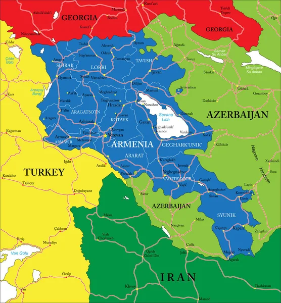
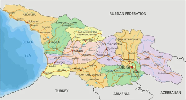
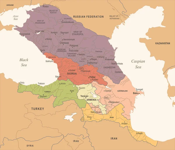
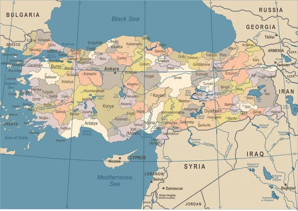
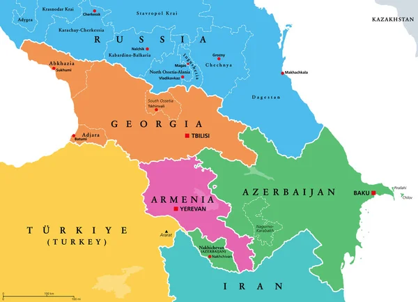
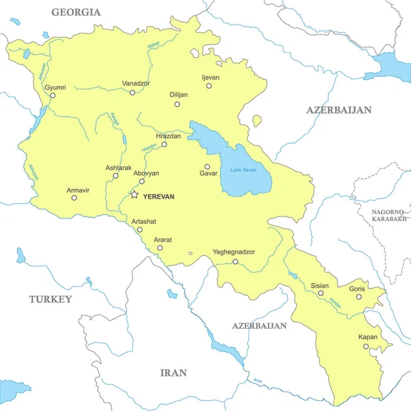
Stock vector Political map of Armenia with national borders, cities and rivers
Published: Mar.21, 2023 18:54:31
Author: grebeshkovmaxim@gmail.com
Views: 7
Downloads: 0
File type: vector / eps
File size: 1.52 MB
Orginal size: 4000 x 4000 px
Available sizes:
Level: silver