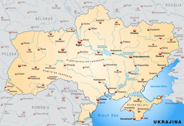
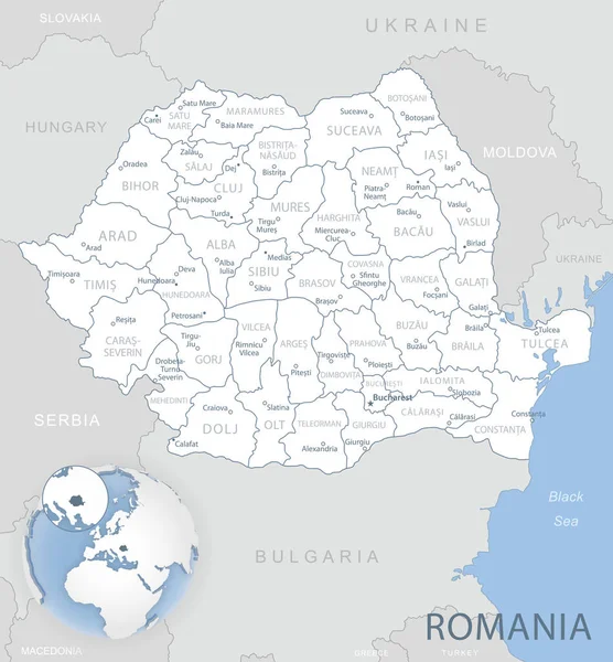
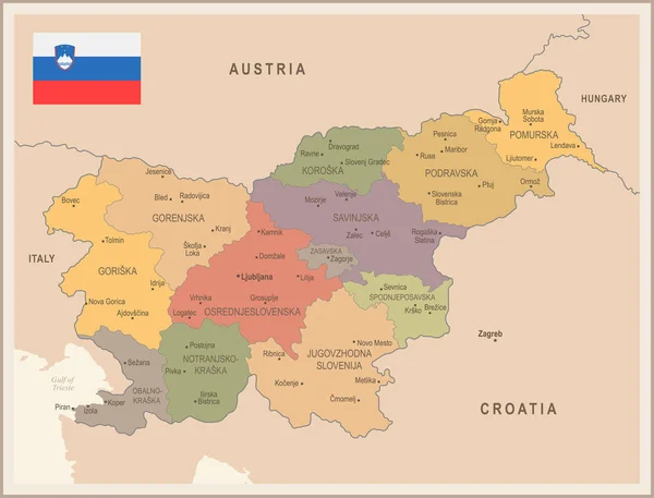
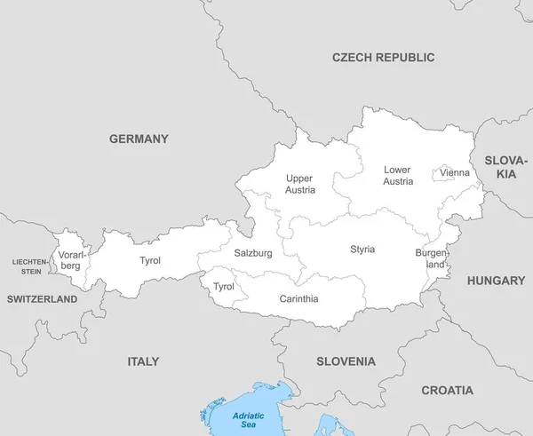
Stock vector Political map of Austria with borders with borders of regions and countries
Published: Mar.03, 2022 12:12:22
Author: grebeshkovmaxim@gmail.com
Views: 2
Downloads: 0
File type: vector / eps
File size: 1.43 MB
Orginal size: 5500 x 4500 px
Available sizes:
Level: silver
Similar stock vectors
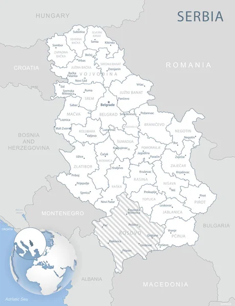
Blue-gray Detailed Map Of Serbia Administrative Divisions And Location On The Globe. Vector Illustration
5172 × 6737