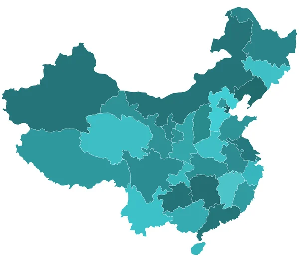
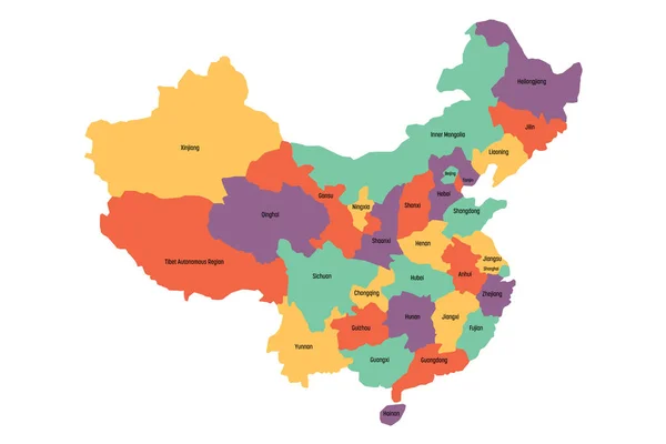
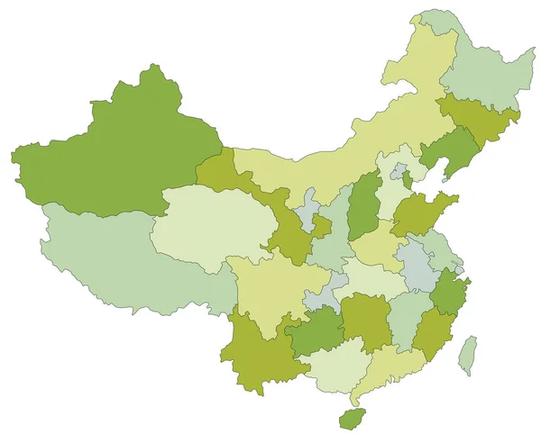
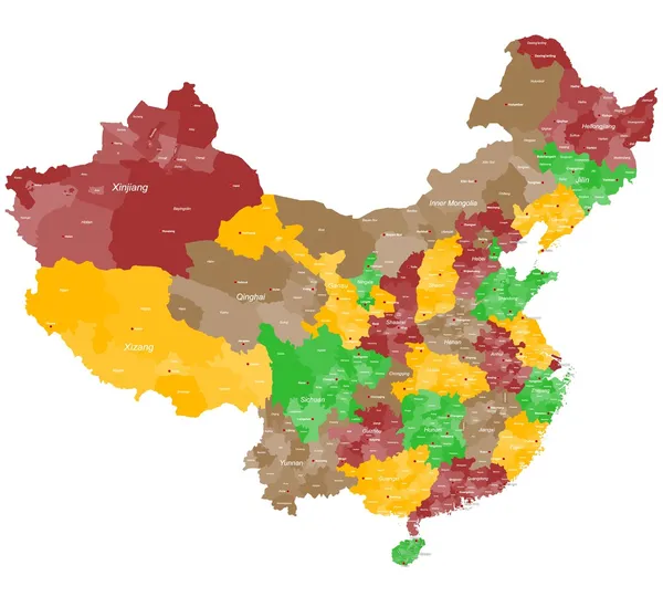
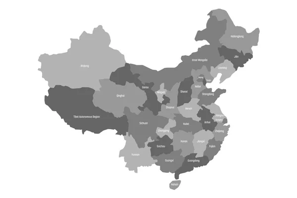
Stock vector Political map of chinese provinces. Grey vector illustration
Published: Oct.18, 2017 13:28:26
Author: pyty
Views: 16
Downloads: 0
File type: vector / eps
File size: 0.99 MB
Orginal size: 6000 x 4000 px
Available sizes:
Level: silver