Home
Images
Vectors
Videos
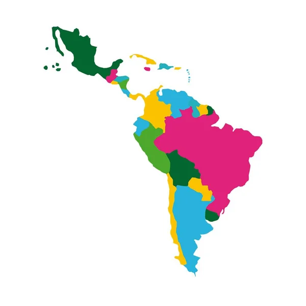
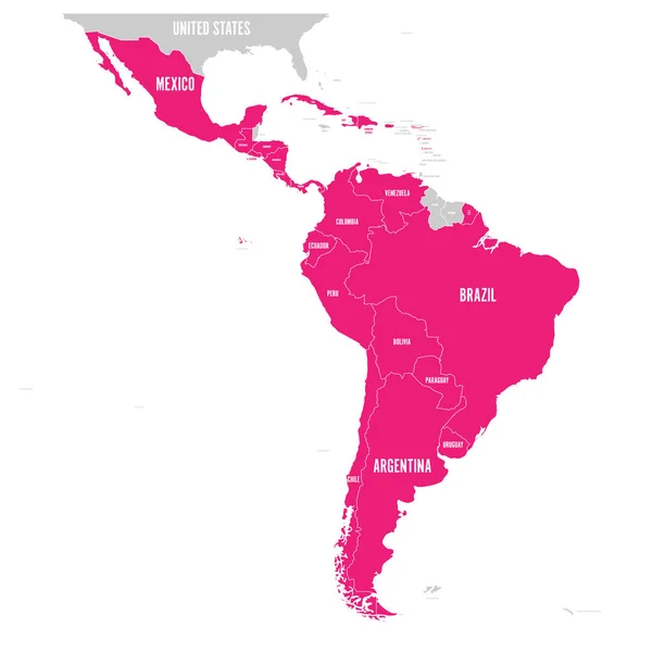
Stock vector Political map of Latin America. Latin american states pink highlighted in the map of South America, Central America and Caribbean. Vector illustration
Published:
Mar.16, 2018 08:26:45
Author:
pyty
Views:
480
Downloads:
4
File type:
vector
/
eps
File size:
1.83 MB
Orginal size:
6000
x
6000
px
Available sizes:
S
(500 x 500)
M
(1000 x 1000)
L
(2000 x 2000)
XL
(6000 x 6000)
VECT
(6000 x 6000)
EL0
(6000 x 6000)
Level:
silver
Download Vector
Vector topics:
Vector
Background
Illustration
Art
Travel
French
Border
Pink
Concept
Earth
World
American
South
Country
Map
Cartography
Geography
National
Continent
State
Language
Speaking
America
Political
Latin
Caribbean
Central
Brazil
Spanish
Mexico
Atlas
Hispanic
Nation
Chile
Cuba
Argentina
Paraguay
Peru
Mapping
Venezuela
Portuguese
Ecuador
Bolivia
Colombia
URUGUAY
Spoken
South America
Latin America
Central America
Ibero
Similar stock vectors
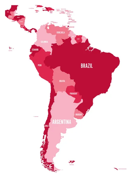
Political Map Of Latin America. Simple Flat Vector Map With Country Name Labels In Four Shades Of Maroon
6000 × 6000
Political Map Of Latin America. Latin American States Blue Highlighted In The Map Of South America, Central America And Caribbean. Vector Illustration
6000 × 6000
World Map With Highlighted Brasil
12000 × 9000
Political Map Of South America. Simple Flat Vector Map With Country Name Labels In Four Shades Of Maroon
6000 × 7852
Map Of The World With A Selected Country Of Colombia
4167 × 2778
Map Of The World With A Selected Country Of Brazil
4167 × 2778
Map Of The World With A Selected Country Of Brazil
6250 × 4167
Latin America Map
5315 × 5315