Home
Images
Vectors
Videos
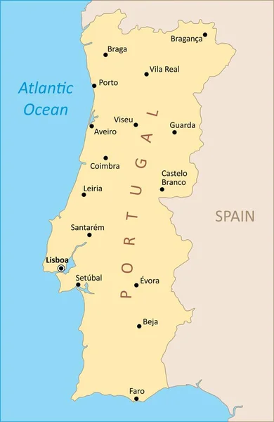
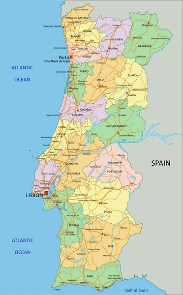
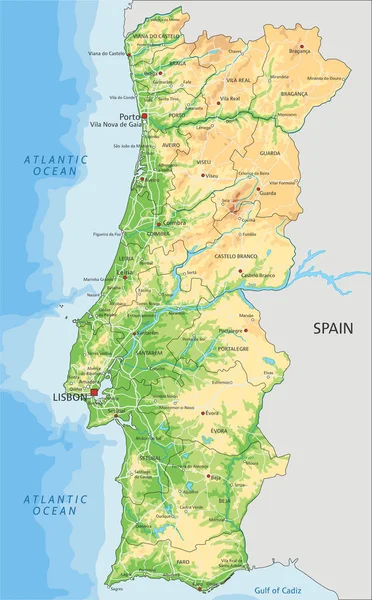
Stock vector Political map of Portugal with borders with borders of regions and countries
Published:
Mar.03, 2022 12:12:22
Author:
grebeshkovmaxim@gmail.com
Views:
5
Downloads:
0
File type:
vector
/
eps
File size:
1.67 MB
Orginal size:
4000
x
4000
px
Available sizes:
S
(500 x 500)
M
(1000 x 1000)
L
(2000 x 2000)
XL
(4000 x 4000)
VECT
(4000 x 4000)
EL0
(4000 x 4000)
Level:
silver
Download Vector
Vector topics:
Vector
Graphic
Illustration
Travel
Texture
Tower
Tourism
Detailed
Town
Famous
Outline
District
Map
Cartography
Geography
Plan
Area
Portugal
Overview
State
Guide
Review
Government
Political
Administrative
United
Department
Region
Division
Prefecture
Sub
Province
County
Greater
Mapping
Portuguese
Boroughs
Similar stock vectors
Political Map Of Spain With Borders With Borders Of Regions And Countries
4000 × 4000
Portugal Region Map
3254 × 5006
Map Of Portugal
5255 × 5062
Portugal - Highly Detailed Editable Political Map With Labeling.
3517 × 5673
Blue-gray Detailed Map Of Spain And Administrative Divisions And Location On The Globe.
6602 × 5283
Map Of Portugal
5259 × 5066
Spain
5200 × 4030
High Detailed Portugal Physical Map With Labeling.
3518 × 5673