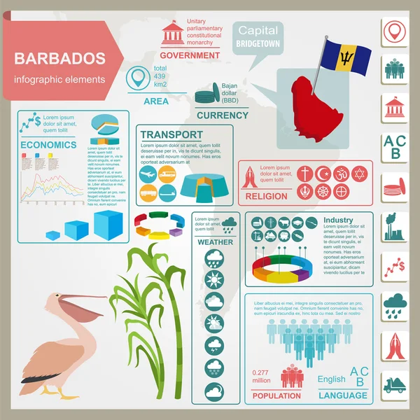
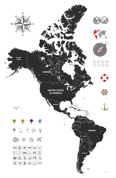
Stock vector political map of south and north america
Published: Aug.11, 2015 10:39:40
Author: Jktu_21
Views: 326
Downloads: 16
File type: vector / eps
File size: 14.72 MB
Orginal size: 4724 x 7249 px
Available sizes:
Level: silver