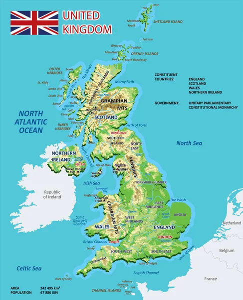
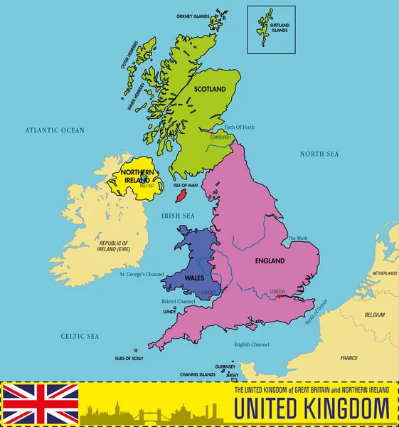
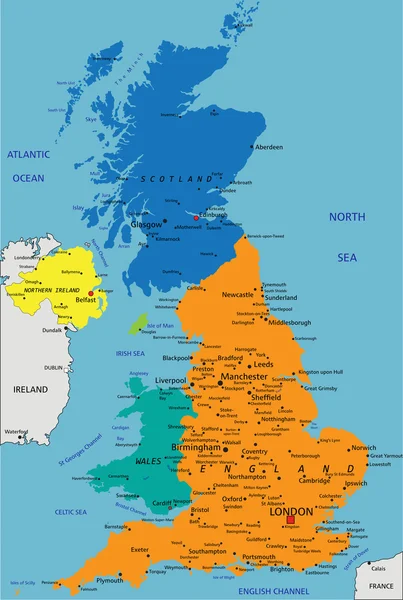
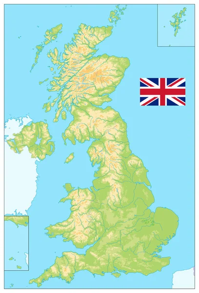
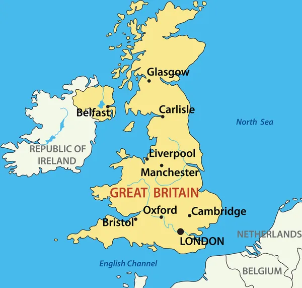
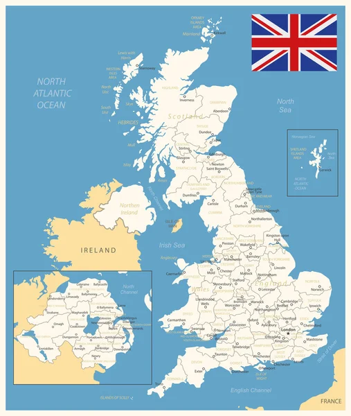
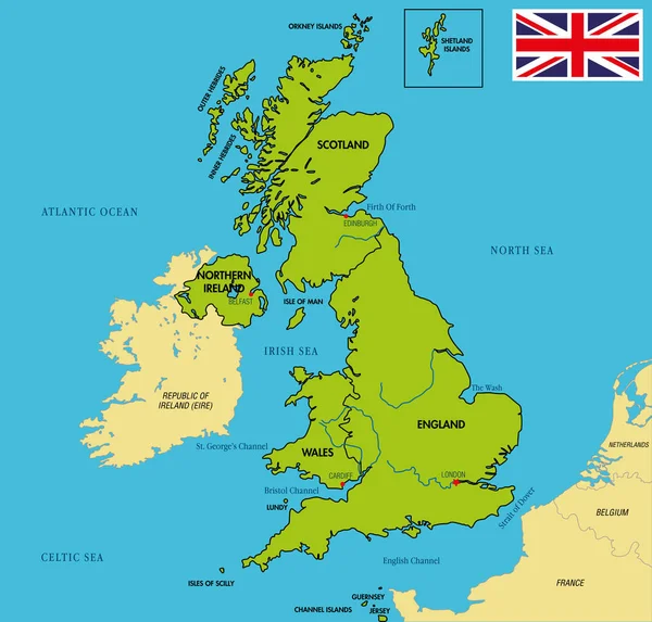
Stock vector Political map of United Kingdom with regions and their capitals
Published: Apr.20, 2017 16:29:01
Author: zlatovlaska2008
Views: 1376
Downloads: 1
File type: vector / eps
File size: 2.43 MB
Orginal size: 6000 x 5729 px
Available sizes:
Level: beginner