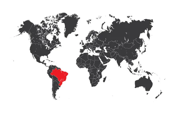
Stock vector Political Vector Map of the world with clear borders with highlighted Brazil. Each country is isolated and selectable. Suitable for reports, statistics, infographics, templates. Silhouette backd

Published: Jun.12, 2020 08:10:08
Author: mr.good
Views: 1
Downloads: 0
File type: vector / eps
File size: 8.17 MB
Orginal size: 7635 x 3952 px
Available sizes:
Level: beginner