Home
Images
Vectors
Videos
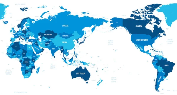
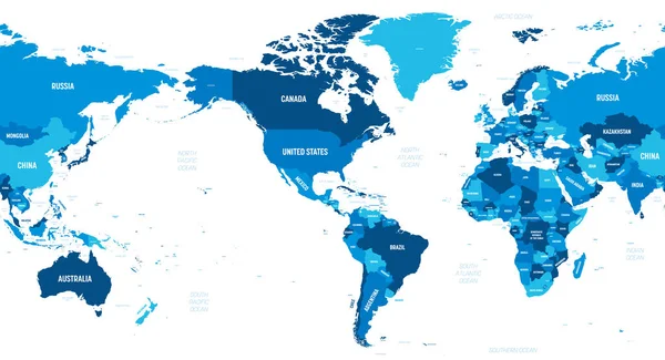
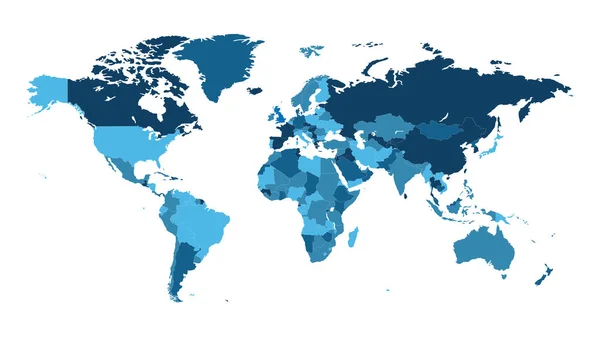
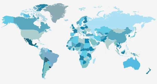
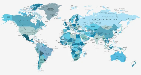
Stock vector Political World Map vector illustration with different tones of blue for each country. Editable and clearly labeled layers.
Published:
Jul.03, 2018 08:51:47
Author:
asantosg
Views:
348
Downloads:
13
File type:
vector
/
eps
File size:
9.59 MB
Orginal size:
5600
x
3400
px
Available sizes:
S
(500 x 304)
M
(1000 x 607)
L
(2000 x 1214)
XL
(5600 x 3400)
VECT
(5600 x 3400)
EL0
(5600 x 3400)
Level:
bronze
Download Vector
Vector topics:
Color
White
Blue
Vector
Background
Colorful
Graphic
Illustration
Design
Isolated
Art
Travel
Modern
Icon
Global
Flat
Physical
Information
Education
Clip
Earth
Planet
World
Usa
Europe
Country
Map
Cartography
Geography
Africa
Land
Asia
Topography
America
Australia
Borders
Political
Info
Continents
Oceania
Atlas
Globes
Mockup
Tones
Worldmap
Infographics
World Map
World Map Vector
World Map Flat
World Map Shape
Similar stock vectors
Political World Map Vector Illustration With Different Tones Of Blue For Each Country And Country Names In Spanish. Editable And Clearly Labeled Layers.
5600 × 3400
World Map - Asia, Australia And Pacific Ocean Centered. Green Hue Colored On Dark Background. High Detailed Political Map Of World With Country, Capital, Ocean And Sea Names Labeling
6000 × 3250
Political Blank World Map Vector Illustration With Different Tones Of Blue For Each Country. Editable And Clearly Labeled Layers.
5600 × 3400
World Map - America Centered. Green Hue Colored On Dark Background. High Detailed Political Map Of World With Country, Capital, Ocean And Sea Names Labeling
6000 × 3250
Colorful Map Of World
8000 × 4500
World Map-countries. Vector Illustration.
3254 × 1750
World Map-countries. Vector Illustration.
3254 × 1750
Political World Map Vector Illustration With Different Tones Of Yellow For Each Country. Editable And Clearly Labeled Layers.
5600 × 3400