Home
Images
Vectors
Videos
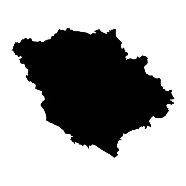
Stock vector Poltava Oblast map, province of Ukraine. Vector illustration.
Published:
Apr.24, 2023 12:28:57
Author:
majborodinruslan1990.icloud.com
Views:
3
Downloads:
0
File type:
vector
/
eps
File size:
5.34 MB
Orginal size:
8334
x
8334
px
Available sizes:
S
(500 x 500)
M
(1000 x 1000)
L
(2000 x 2000)
XL
(8334 x 8334)
VECT
(8334 x 8334)
EL0
(8334 x 8334)
Level:
beginner
Download Vector
Vector topics:
Vector
Graphic
Illustration
Design
Isolated
Sign
Texture
Line
Silhouette
Border
Banner
Symbol
Icon
Contour
Simple
Drawing
Template
Ukraine
Detailed
Capital
Europe
Outline
Country
District
Map
Cartography
Geography
Area
National
State
Chart
Topography
Boundary
Political
Administrative
Region
Division
Federal
Territory
Atlas
Province
County
Mapping
Oblast
Cut Out
Poltava Oblast
Similar stock vectors
Vorarlberg State, Silhouette Map Isolated On White Background, Austria
3356 × 5000
Black Flat Blank Vector Map Of The Ukrainian Administrative Area Of POLTAVA OBLAST, UKRAINE
5500 × 4380
Kaunas County Map, Administrative Division Of Lithuania. Vector Illustration.
8334 × 8334
Navarre Spain Autonomus Community Map Black Silhouette. Raster Illustration.
4000 × 4000
The Pescara Province Dark Silhouette Map Isolated On White Background, Italy
3978 × 5000
High Detailed Vector Map. Belgium. New Map 2023
10000 × 10000
Sumadija District Map, Administrative District Of Serbia. Vector Illustration.
8334 × 8334
Brandenburg Region Map. Vector Illustration.
8334 × 8334