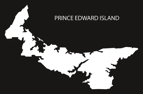
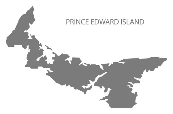
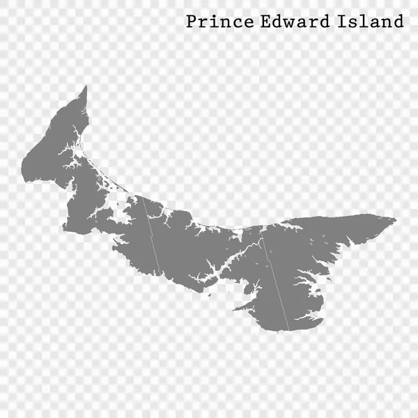
Stock vector Prince Edward Island outline map

Published: Jul.10, 2020 09:57:18
Author: luisrftc
Views: 2
Downloads: 0
File type: vector / eps
File size: 8.09 MB
Orginal size: 5000 x 3500 px
Available sizes:
Level: bronze