Home
Images
Vectors
Videos
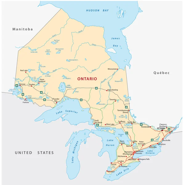
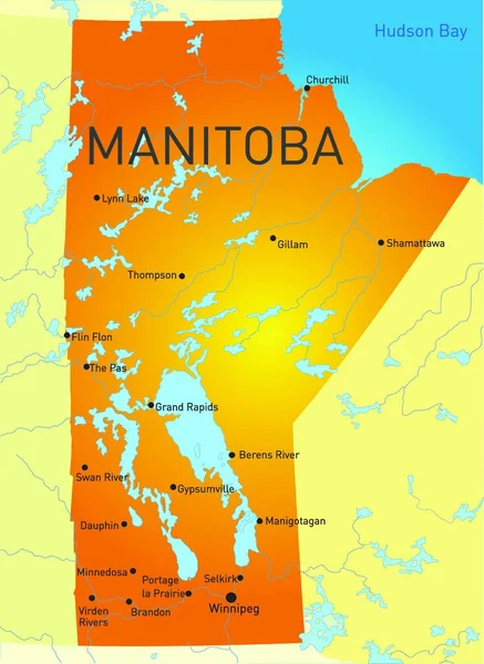
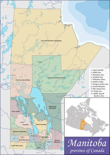
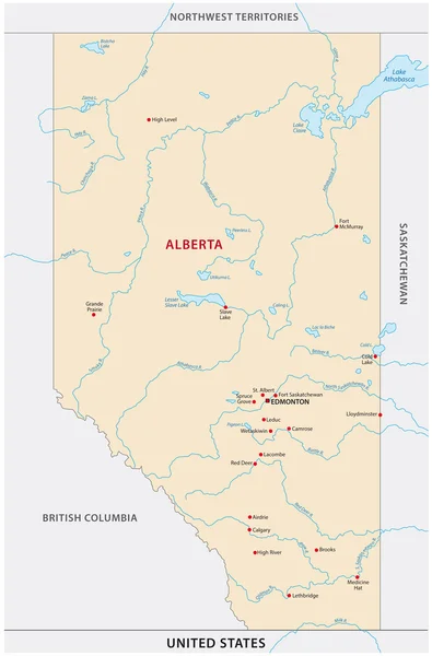
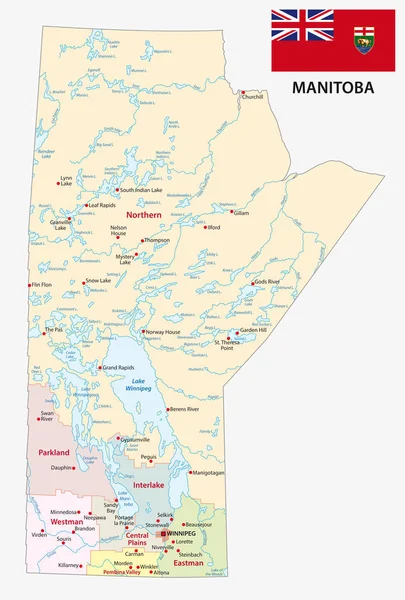
Stock vector Province manitoba administrative and political map with flag
Published:
Jan.05, 2018 09:53:24
Author:
Lesniewski
Views:
42
Downloads:
0
File type:
vector
/
eps
File size:
2.43 MB
Orginal size:
3100
x
4581
px
Available sizes:
S
(338 x 500)
M
(677 x 1000)
L
(1353 x 2000)
XL
(3100 x 4581)
VECT
(3100 x 4581)
EL0
(3100 x 4581)
Level:
bronze
Download Vector
Vector topics:
Vector
Graphic
Illustration
Travel
Border
Flag
Bay
North
Outline
Map
Cartography
Geography
National
America
Political
Administrative
Canada
United
States
Cities
Province
Mapping
Hudson
Towns
Manitoba
Winnipeg
Similar stock vectors
Manitoba
4647 × 6383
Manitoba Province Vector Editable Map Of The Canada
4732 × 6500
Ontario Road Map
2541 × 2545
Illustration Of The Manitoba
3634 × 5000
Map Of Manitoba
4990 × 7018
Province Manitoba Vector Road And Travel Map
3100 × 4570
Political Map Of Canada With The Several Provinces Where Alberta Is Highlighted.
6575 × 5630
Alberta Map
2231 × 3382