Home
Images
Vectors
Videos
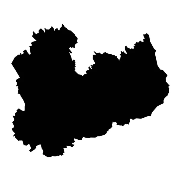
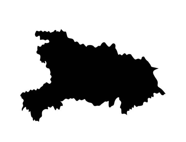
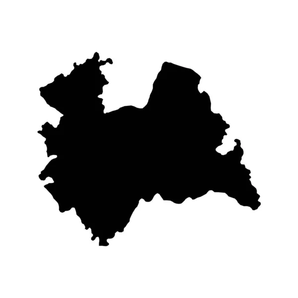
Stock vector Qinghai province map, administrative divisions of China. Vector illustration.
Published:
Nov.13, 2022 10:07:38
Author:
majborodinruslan1990.icloud.com
Views:
2
Downloads:
0
File type:
vector
/
eps
File size:
5.35 MB
Orginal size:
8334
x
8334
px
Available sizes:
S
(500 x 500)
M
(1000 x 1000)
L
(2000 x 2000)
XL
(8334 x 8334)
VECT
(8334 x 8334)
EL0
(8334 x 8334)
Level:
beginner
Download Vector
Vector topics:
Vector
Graphic
Element
Illustration
Design
Travel
Texture
Line
Border
Flag
Icon
Mark
Flat
Contour
Simple
Drawing
Detailed
Chinese
China
Eastern
Outline
Country
District
Map
Cartography
Geography
Area
National
Continent
Land
Asia
Topography
Boundary
Political
Administrative
Region
Division
Prefecture
Territory
Atlas
Patriotic
Province
Subdivision
County
Autonomous
Qinghai
Kokonor
Similar stock vectors
Province Qinghai Map Vector Silhouette Illustration Isolated On White Background, China Region Map.
5663 × 4371
Map Of Belgium Black Filled Sign Eps Ten
8334 × 8334
Presov Map, Region Of Slovakia. Vector Illustration.
8334 × 8334
South Savo Map, Region Of Finland. Vector Illustration.
8334 × 8334
Province Hubei Map Vector Silhouette Illustration Isolated On White Background, China Region Map.
5655 × 4329
Braga Map, District Of Portugal. Vector Illustration.
8334 × 8334
Belgium Silhouette Map
5000 × 4500
Utrecht Province Of The Netherlands. Vector Illustration.
8334 × 8334