Home
Images
Vectors
Videos
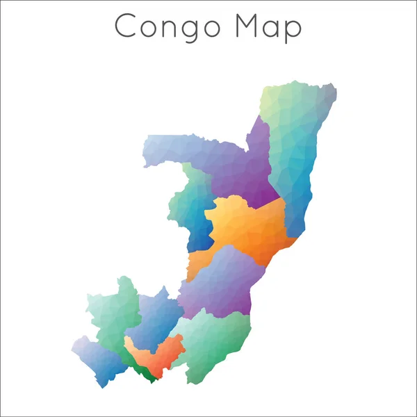
Stock vector Republic of the Congo Detailed Map With Regions
Published:
Aug.22, 2024 06:07:36
Author:
businessofbasti@gmail.com
Views:
0
Downloads:
0
File type:
vector
/
eps
File size:
0.93 MB
Orginal size:
2401
x
2401
px
Available sizes:
S
(500 x 500)
M
(1000 x 1000)
L
(2000 x 2000)
XL
(2401 x 2401)
VECT
(2401 x 2401)
EL0
(2401 x 2401)
Level:
beginner
Download Vector
Vector topics:
Color
Vector
Background
Colorful
Colored
Illustration
Design
Isolated
Shape
Business
Travel
Silhouette
Border
Multicolor
Symbol
Concept
Icon
City
Flat
Contour
World
Detailed
Outline
Country
Map
Cartography
Geography
National
State
Chart
Politics
Division
Province
Nation
Congo
Regions
Navigational Equipment
Geographical Locations
Republic Of The Congo
Detailed Map
Congo Map
Congo Regions
Divided Map
Congo Provinces
Congo Cities
Similar stock vectors
Republic Of The Congo Political Map Of Administrative Divisions - Departments. Colorful Spectrum Political Map With Labels And Country Name.
8000 × 8000
Blue Shape With Name Of The Country Of Congo
3125 × 3125
Low Poly Map Of Congo Congo Geometric Polygonal Mosaic Style Map
5485 × 5485
Verctor Map Of Cities And Roads In Democratic Republic Of Congo.
7087 × 7087
Congo Poster In Retro Style. Map Of The Country With Regions In Autumn Color Palette. Shape Of Congo With Country Name. Stylish Vector Illustration.
4842 × 6213
Map Of The Country Of Congo
3125 × 3125
Congo Poster. Map Of The Country With Colorful Regions. Shape Of Congo With Country Name. Stylish Vector Illustration.
4939 × 6107
Map Of The Country Of Congo
2431 × 2431