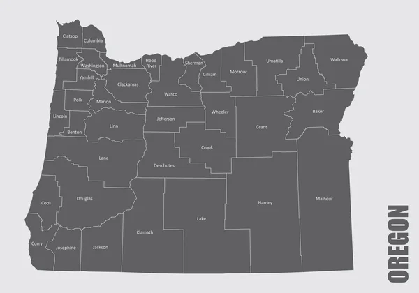
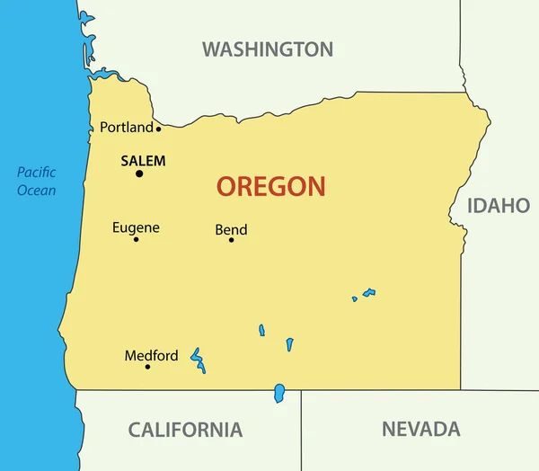
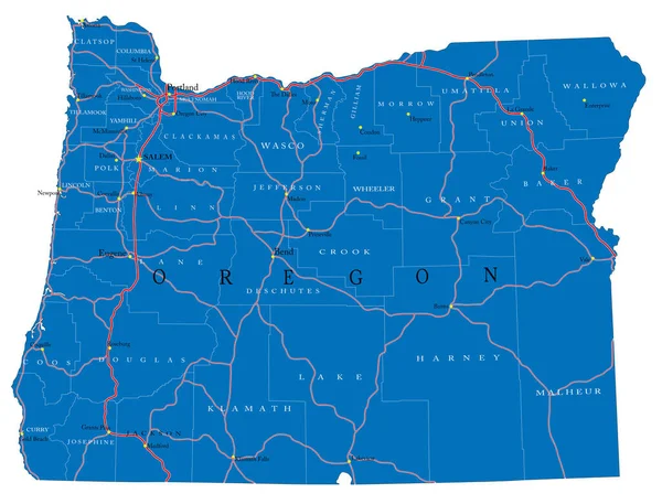
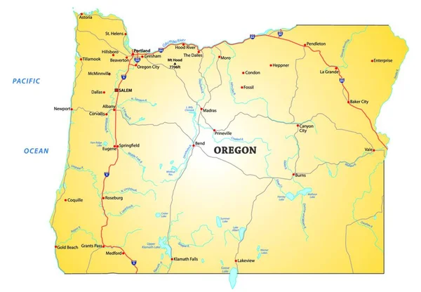
Stock vector road map of the US state oregon
Published: Aug.03, 2020 08:03:58
Author: PantherMediaSeller
Views: 2
Downloads: 0
File type: vector / zip
File size: 0 MB
Orginal size: 6096 x 4240 px
Available sizes:
Level: platinum