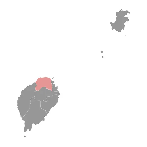
Stock vector Saint Andrew Parish map, administrative division of Saint Vincent and the Grenadines. Vector illustration.

Published: Aug.04, 2024 11:07:35
Author: majborodinruslan1990.icloud.com
Views: 0
Downloads: 0
File type: vector / eps
File size: 5.82 MB
Orginal size: 8334 x 8334 px
Available sizes:
Level: beginner