Home
Images
Vectors
Videos
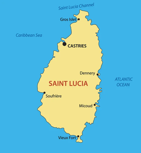
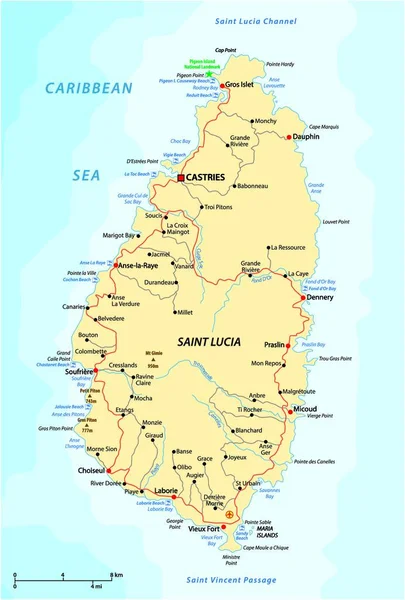
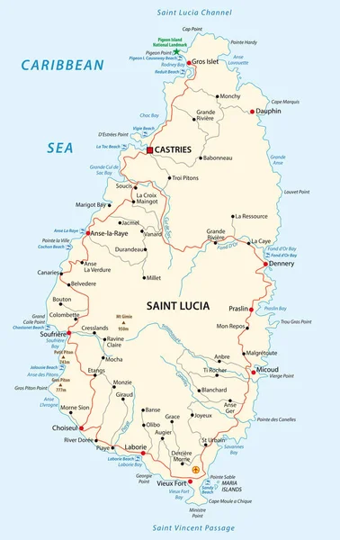
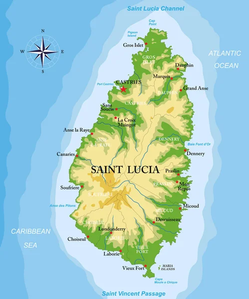
Stock vector Saint Lucia island highly detailed physical map
Published:
Feb.08, 2022 11:43:18
Author:
BogdanSerban
Views:
8
Downloads:
0
File type:
vector
/
eps
File size:
1.61 MB
Orginal size:
6249
x
7500
px
Available sizes:
S
(417 x 500)
M
(833 x 1000)
L
(1666 x 2000)
XL
(6249 x 7500)
VECT
(6249 x 7500)
EL0
(6249 x 7500)
Level:
beginner
Download Vector
Vector topics:
Vector
Background
Illustration
Isolated
Travel
Mountain
Sea
Silhouette
Border
Road
River
City
Ocean
Outline
Hill
Country
Map
Cartography
Geography
Destination
Caribbean
Eps
Castries
Dennery
Soufriere
Saint Lucia
Grand Anse
Choiseul
Anse La Raye
Similar stock vectors
Saint Lucia - Vector Map
3290 × 3550
Road Vector Map Of The West Indian Island State Of Saint Lucia
3100 × 4575
Road Vector Map Of The West Indian Island State Of Saint Lucia
3710 × 4000
Dominica Island Highly Detailed Physical Map
5579 × 6129
Saint Lucia Road And Beach Vector Map
3100 × 4913
St. Vincent And The Grenadines Islands Highly Detailed Physical Map
5170 × 7500
Highly Detailed Vector Map Of The Caribbean Island Of Saint Lucia With Main Cities,regions And Roads.
4146 × 5000
Antigua And Barbuda Map
3100 × 4647