Stock vector Salt Island map. Blank vector map of the Island. Borders of Salt Island for your infographic. Vector illustration.

Published: Jan.28, 2020 12:11:04
Author: gagarych
Views: 1
Downloads: 0
File type: vector / eps
File size: 0.23 MB
Orginal size: 6086 x 4958 px
Available sizes:
Level: bronze
Similar stock vectors

Aka Island Map Blank Vector Map Of The Island Borders Of Aka Island For Your Infographic Vector
5840 × 5177

Cat Ba Island Map Blank Vector Map Of The Island Borders Of Cat Ba Island For Your Infographic
6123 × 4920
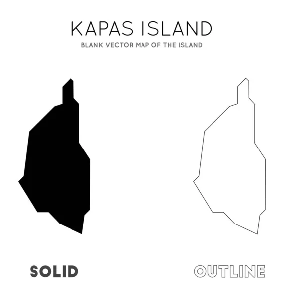
Kapas Island Map Blank Vector Map Of The Island Borders Of Kapas Island For Your Infographic
5353 × 5613

Gili Islands Map Blank Vector Map Of The Island Borders Of Gili Islands For Your Infographic
7201 × 4175
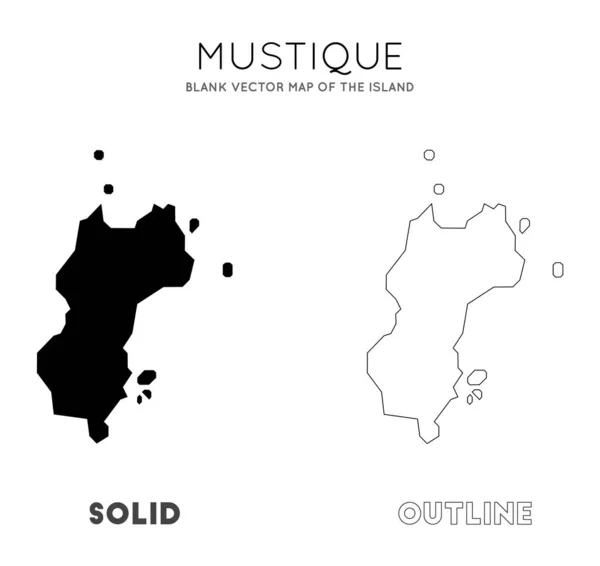
Mustique Map Blank Vector Map Of The Island Borders Of Mustique For Your Infographic Vector
5657 × 5340