Home
Images
Vectors
Videos
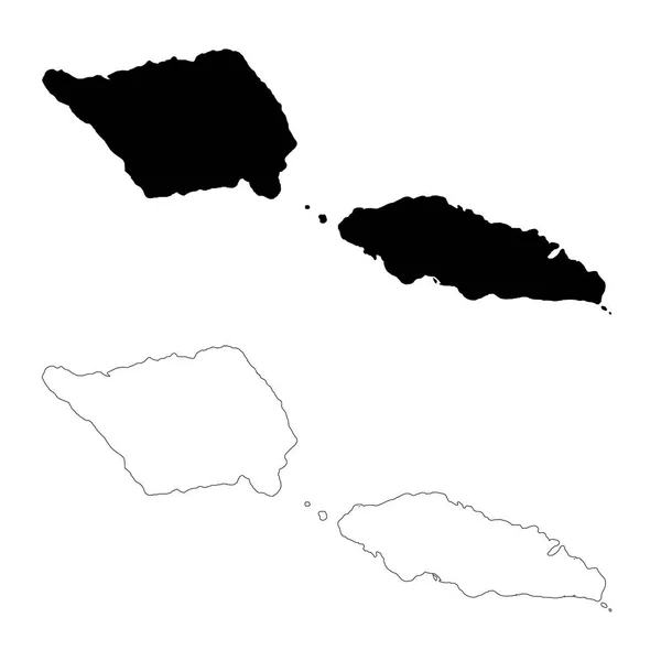
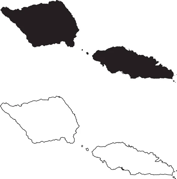
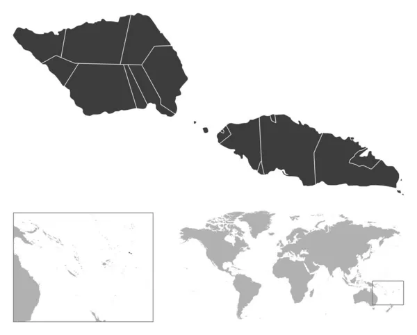
Stock vector Samoa - detailed country outline and location on world map. Vector illustration
Published:
Nov.17, 2021 11:36:09
Author:
gt29
Views:
2
Downloads:
0
File type:
vector
/
eps
File size:
2.66 MB
Orginal size:
6746
x
5423
px
Available sizes:
S
(500 x 402)
M
(1000 x 804)
L
(2000 x 1608)
XL
(6746 x 5423)
VECT
(6746 x 5423)
EL0
(6746 x 5423)
Level:
bronze
Download Vector
Vector topics:
White
Vector
Background
Business
Travel
Black
Border
Road
Gray
Contour
Earth
World
Tourism
Detailed
Highly
Layout
Outline
Country
Map
Cartography
Geography
Continent
Separation
State
Political
Printed
Marker
Oceania
Provinces
Samoa
Territories
Apia
Municipalities
Black And White
Administrative Divisions
Samoa Map
Similar stock vectors
Vector Map Samoa. Isolated Vector Illustration. Black On White Background. EPS 10 Illustration.
5000 × 5000
Samoa Map. Black Silhouette Country Map Isolated On White Background. Black Outline On White Background. Vector Based
8088 × 8144
Barbados - Detailed Country Outline And Location On World Map. Vector Illustration
7364 × 5170
Haiti - Detailed Country Outline And Location On World Map. Vector Illustration
5161 × 5857
Brunei - Detailed Country Outline And Location On World Map. Vector Illustration
5370 × 6296
Papua (Subdivisions Of Indonesia, Provinces Of Indonesia) Map Vector Illustration, Scribble Sketch Papua (Western New Guinea) Map
7087 × 4726
Jamaica - Detailed Country Outline And Location On World Map. Vector Illustration
7351 × 5251
El Salvador Map. Black Silhouette Country Map Isolated On White Background. Black Outline On White Background. Vector File
7940 × 10262