Home
Images
Vectors
Videos
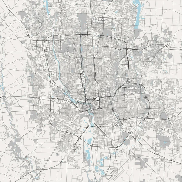
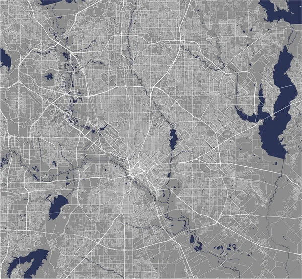
Stock vector Satellite view of the city of Beijing, China. Vector map of the city. Roads, highways, railway lines, waterways and secondary roads of the capital.
Published:
Sep.27, 2021 06:46:27
Author:
vampy1
Views:
4
Downloads:
1
File type:
vector
/
eps
File size:
13.8 MB
Orginal size:
4987
x
4957
px
Available sizes:
S
(500 x 497)
M
(1000 x 994)
L
(2000 x 1988)
XL
(4987 x 4957)
VECT
(4987 x 4957)
EL0
(4987 x 4957)
Level:
silver
Download Vector
Vector topics:
Color
Vector
Graphic
Illustration
Design
Travel
Park
Abstract
Transportation
Border
Road
River
City
Downtown
Urban
Drawing
Information
Street
Highway
Landmark
Town
Capital
Chinese
China
Navigation
Outline
Country
District
Map
Cartography
Geography
Plan
Area
Residential
Asia
Metropolis
Topography
Location
Place
Political
Administrative
Destination
Aerial
Beijing
Region
Atlas
Province
Metropolitan
Borough
Geographical
Similar stock vectors
Map Of The City Of Hefei, China
4505 × 3959
Map Of The City Of Columbus, Ohio, USA
4938 × 4924
Map Of The City Of San Antonio, Texas, USA
4937 × 5177
Map Of The City Of Houston, U.S. State Of Texas, USA
4279 × 4177
Detailed Map Of Columbus City Administrative Area. Royalty Free Vector Illustration. Cityscape Panorama. Decorative Graphic Tourist Map Of Columbus Territory.
4032 × 4358
Map Of The City Of Beijing, China
5025 × 4929
Map Of The City Of Dallas, Texas, USA
5267 × 4871
Map Of The City Of Denver, Colorado, USA
4817 × 5129