photo free
Home Images Vectors Videos

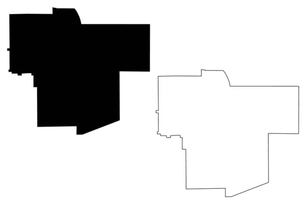
Stock vector Scioto and Paulding County, Ohio State (U.S. county, United States of America, USA, U.S., US) map vector illustration, scribble sketch map

Stock vector Scioto and Paulding County, Ohio State (U.S. county, United States of America, USA, U.S., US) map vector illustration, scribble sketch map
Published: Nov.20, 2020 15:23:15
Author: Danler
Views: 0
Downloads: 0
File type: vector / eps
File size: 0.6 MB
Orginal size: 7087 x 4726 px
Available sizes:
S
(500 x 333)
M
(1000 x 667)
L
(2000 x 1334)
XL
(7087 x 4726)
VECT
(7087 x 4726)
EL0
(7087 x 4726)
Level: bronze
Download Vector
Vector topics:

Similar stock vectors

stock vector Yavapai County, Arizona (U.S. county, United States of America,USA, U.S., US) map vector illustration, scribble sketch Yavapai map

Yavapai County, Arizona (U.S. County, United States Of America,USA, U.S., US) Map Vector Illustration, Scribble Sketch Yavapai Map

7087 × 4726
stock vector Broome County, New York State (U.S. county, United States of America, USA, U.S., US) map vector illustration, scribble sketch Broome map

Broome County, New York State (U.S. County, United States Of America, USA, U.S., US) Map Vector Illustration, Scribble Sketch Broome Map

7087 × 4726
stock vector Scott County, Illinois (U.S. county, United States of America, USA, U.S., US) map vector illustration, scribble sketch Scott map

Scott County, Illinois (U.S. County, United States Of America, USA, U.S., US) Map Vector Illustration, Scribble Sketch Scott Map

7087 × 4726
stock vector Ontario City (United States cities, United States of America, usa city) map vector illustration, scribble sketch City of Ontario map

Ontario City (United States Cities, United States Of America, Usa City) Map Vector Illustration, Scribble Sketch City Of Ontario Map

7087 × 4726
stock vector Ogle County, Illinois (U.S. county, United States of America, USA, U.S., US) map vector illustration, scribble sketch Ogle map

Ogle County, Illinois (U.S. County, United States Of America, USA, U.S., US) Map Vector Illustration, Scribble Sketch Ogle Map

7087 × 4726
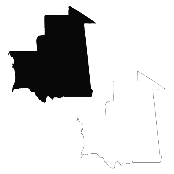
stock vector Vector map Mauritania. Isolated vector Illustration. Black on White background. EPS 10 Illustration.

Vector Map Mauritania. Isolated Vector Illustration. Black On White Background. EPS 10 Illustration.

5000 × 5000
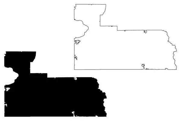
stock vector Ngamiland District (Districts of Botswana, Republic of Botswana) map vector illustration, scribble sketch North-West map

Ngamiland District (Districts Of Botswana, Republic Of Botswana) Map Vector Illustration, Scribble Sketch North-West Map

7087 × 4726
stock vector Orange County, Florida (U.S. county, United States of America, USA, U.S., US) map vector illustration, scribble sketch Orange map

Orange County, Florida (U.S. County, United States Of America, USA, U.S., US) Map Vector Illustration, Scribble Sketch Orange Map

7087 × 4726