Home
Images
Vectors
Videos
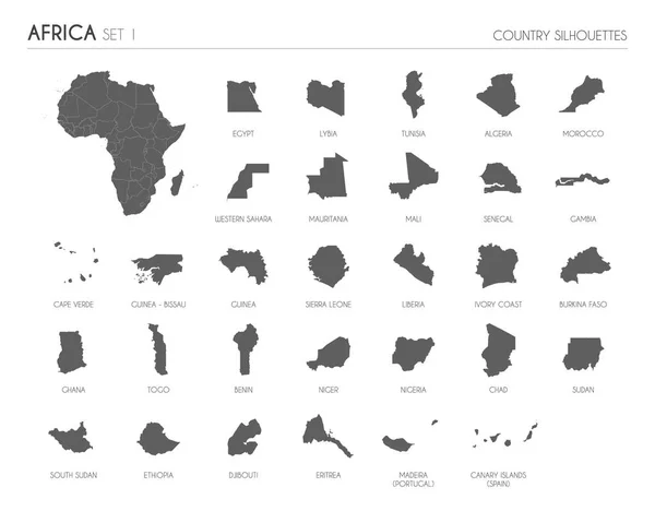
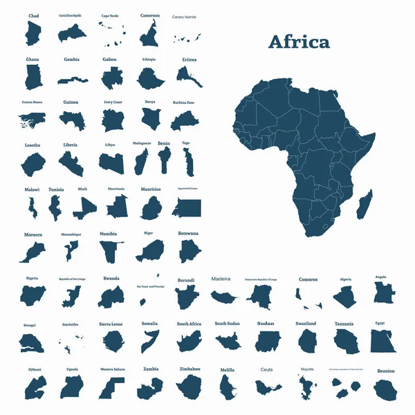
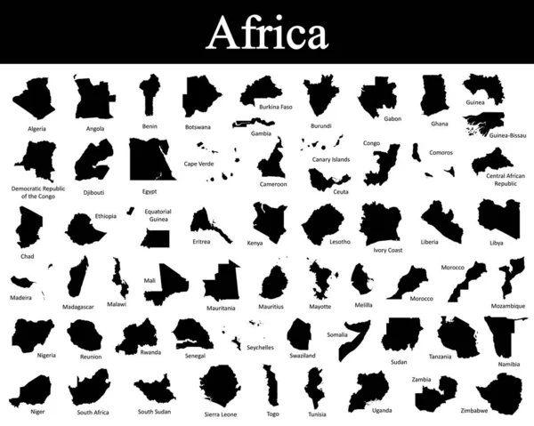
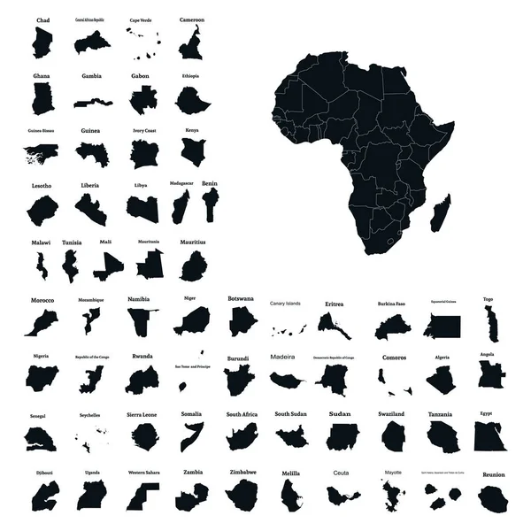
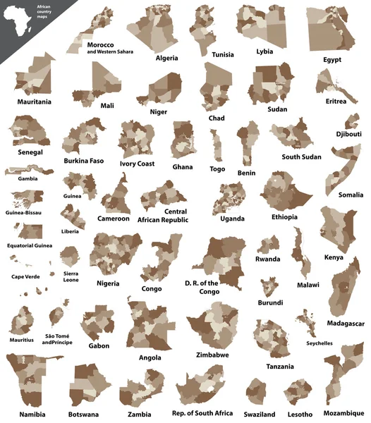
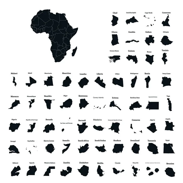
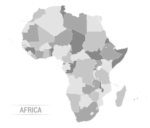
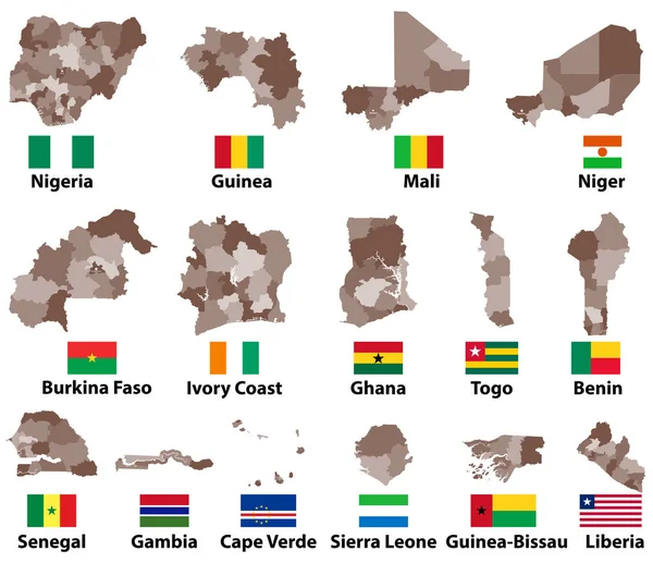
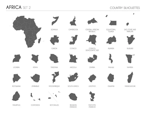
Stock vector Set of 29 high detailed silhouette maps of African Countries and territories, and map of Africa vector illustration.
Published:
Mar.15, 2022 12:32:24
Author:
asantosg
Views:
3
Downloads:
0
File type:
vector
/
eps
File size:
6.52 MB
Orginal size:
6000
x
4685
px
Available sizes:
S
(500 x 390)
M
(1000 x 781)
L
(2000 x 1562)
XL
(6000 x 4685)
VECT
(6000 x 4685)
EL0
(6000 x 4685)
Level:
bronze
Download Vector
Vector topics:
White
Vector
Background
Graphic
Illustration
Design
High
Set
Isolated
Shape
Travel
Silhouette
Border
Modern
African
Flat
Information
Education
Detailed
Collection
Outline
Country
Map
Cartography
Geography
Africa
Continent
State
Political
Kenya
Info
Editable
Territory
Mockup
Seychelles
Madagascar
Congo
Cameroon
Uganda
Infographics
South Africa
Africa Map
Africa Map Vector
Africa Map Shape
Africa Map Flat
Similar stock vectors
Set Of 30 High Detailed Silhouette Maps Of African Countries And Territories, And Map Of Africa Vector Illustration.
6000 × 4685
African Continent And All Countries Of Africa. Vector Illustration
5001 × 5001
All Countries Map Of Africa
5000 × 4000
African Continent And All Countries Of Africa. Vector Illustration
5001 × 5001
African Vector Isolated Country Maps
6250 × 7119
African Continent And All Countries Of Africa. Vector Illustration
5001 × 5001
Vector Africa Grey Map
6901 × 5893
Vector Maps And Flags Of Western Africa Countries With Administrative Divisions (regions Borders)
8334 × 7183