photo free
Home Images Vectors Videos

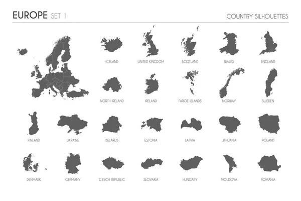
Stock vector Set of 30 high detailed silhouette maps of European Countries and territories, and map of Europe vector illustration.
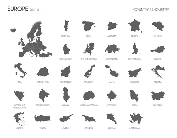
Stock vector Set of 30 high detailed silhouette maps of European Countries and territories, and map of Europe vector illustration.
Published: Mar.15, 2022 12:32:24
Author: asantosg
Views: 3
Downloads: 0
File type: vector / eps
File size: 10.46 MB
Orginal size: 6000 x 4685 px
Available sizes:
S
(500 x 390)
M
(1000 x 781)
L
(2000 x 1562)
XL
(6000 x 4685)
VECT
(6000 x 4685)
EL0
(6000 x 4685)
Level: bronze
Download Vector
Vector topics:

Similar stock vectors

stock vector Set of 24 high detailed silhouette maps of European Countries and territories, and map of Europe vector illustration.

Set Of 24 High Detailed Silhouette Maps Of European Countries And Territories, And Map Of Europe Vector Illustration.

6000 × 4000
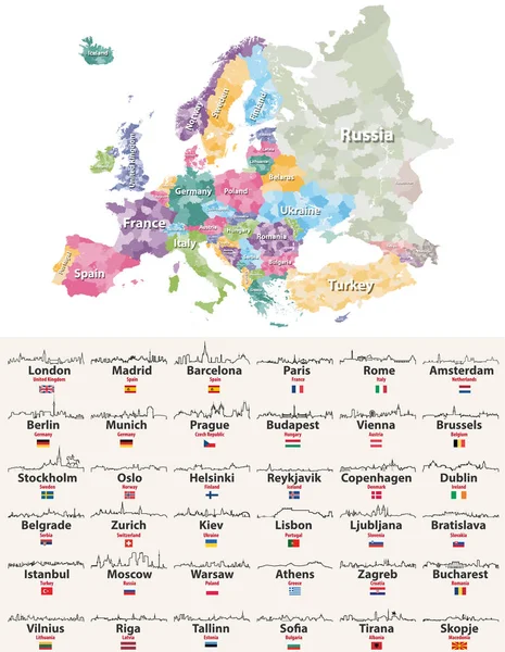
stock vector vector illustration of Europe high detailed regions map with european cities skylines outlines icons

Vector Illustration Of Europe High Detailed Regions Map With European Cities Skylines Outlines Icons

6462 × 8333
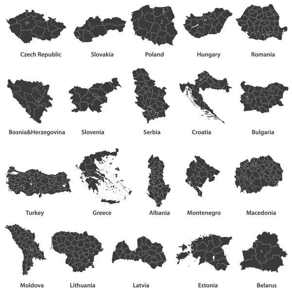
stock vector vector maps of european countries

Vector Maps Of European Countries

7292 × 7292
stock vector Vector isometric maps set - Europa continent.  Maps of European countries with administrative division and cities. Part 1.

Vector Isometric Maps Set - Europa Continent. Maps Of European Countries With Administrative Division And Cities. Part 1.

4500 × 3500
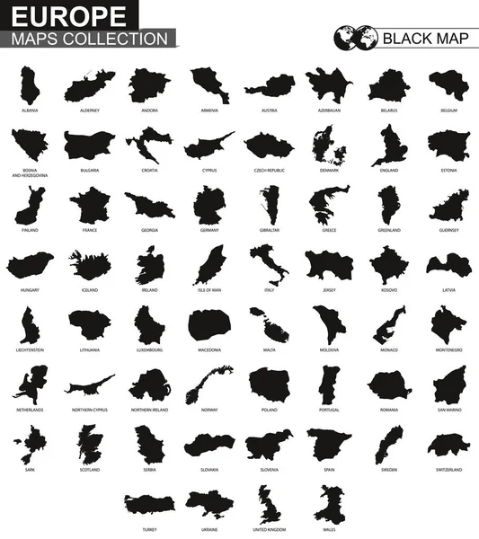
stock vector Maps collection countries of Europe, black contour maps of Europe. Vector set.

Maps Collection Countries Of Europe, Black Contour Maps Of Europe. Vector Set.

5000 × 5625
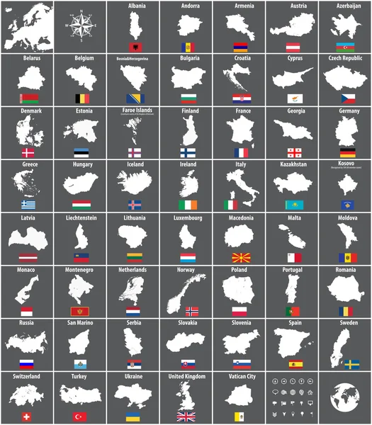
stock vector all European countries maps with flags

All European Countries Maps With Flags

6383 × 7292
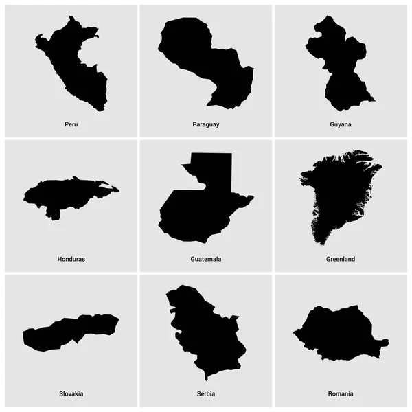
stock vector set of different countries black maps

Set Of Different Countries Black Maps

5556 × 5556
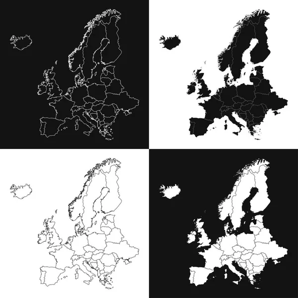
stock vector Europe map set. Vector illustration.

Europe Map Set. Vector Illustration.

8334 × 8334