Home
Images
Vectors
Videos
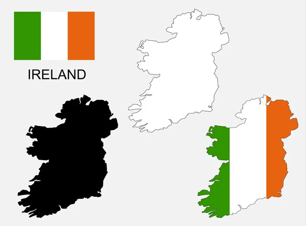
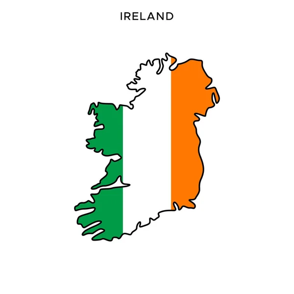
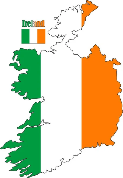
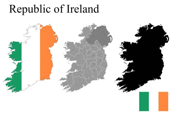
Stock vector Set of maps of Ireland with regions. Flag on the map. Silhouette of the card. Vector illustration
Published:
Aug.10, 2021 09:07:32
Author:
zloyel
Views:
2
Downloads:
0
File type:
vector
/
eps
File size:
6.95 MB
Orginal size:
6250
x
4167
px
Available sizes:
S
(500 x 333)
M
(1000 x 667)
L
(2000 x 1333)
XL
(6250 x 4167)
VECT
(6250 x 4167)
EL0
(6250 x 4167)
Level:
bronze
Download Vector
Vector topics:
Vector
Illustration
Set
Isolated
Shape
Sign
Travel
European
Silhouette
Border
Flag
Concept
Icon
Contour
Plain
Simple
World
Detailed
Europe
Globe
Collection
Outline
Country
Map
Cartography
Geography
Ireland
Land
State
Topography
Borders
Island
Political
Union
Republic
Region
Territory
Atlas
Province
Irish
Gaelic
Dublin
Eire
Infographics
Flag On Map
Irish Free State
Similar stock vectors
Ireland Map And Flag Vector, Ireland Map, Ireland Flag
5626 × 4163
Flag Of Ireland On Map On White Background. Vector Illustration
4167 × 4167
Blank Detailed Contour Maps Of Ireland
4060 × 4960
Contour Of Ireland In Grey And In Flag Colors
4167 × 9168
Flag Map Ireland On White Background. Europe Map Vector. Travel Concept. Vector Illustration. Stock Image.
5138 × 5138
Map And Flag Of Ireland Vector Design Template With Editable Stroke
5000 × 5000
Ireland Map And Flag
6548 × 9433
Ireland Map Line, Linear Thin Vector. Ireland Simple Map And Flag.
3543 × 3543