Home
Images
Vectors
Videos
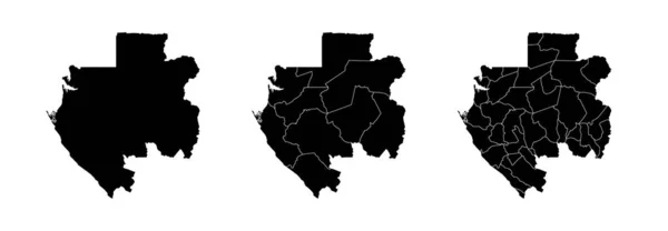
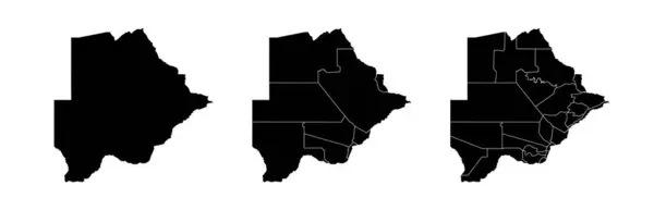
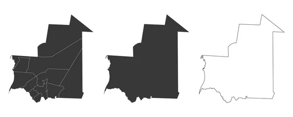
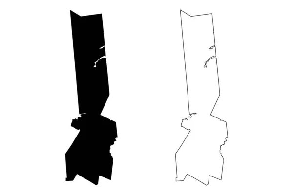
Stock vector Set of state maps of Mauritania with regions and municipalities division. Department borders, isolated vector maps on white background.
Published:
Jan.18, 2024 13:44:03
Author:
Litteralis
Views:
2
Downloads:
1
File type:
vector
/
eps
File size:
2.97 MB
Orginal size:
7082
x
2487
px
Available sizes:
S
(500 x 176)
M
(1000 x 351)
L
(2000 x 702)
XL
(7082 x 2487)
VECT
(7082 x 2487)
EL0
(7082 x 2487)
Level:
bronze
Download Vector
Vector topics:
Color
White
Vector
Background
Graphic
Illustration
Design
Set
Isolated
Shape
Black
Line
Border
Lines
Digital
Contour
Detailed
Country
Geography
Area
National
Land
State
Borders
Boundary
Political
Official
Division
Territory
Maps
Nation
Divisions
Regional
Provinces
Regions
Mauritania
Mauritanian
Departments
Municipalities
White Background
Vector Map
Mauritania Map
Mauritania Regions
Mauritania Border
Maps Of Mauritania
Similar stock vectors
Set Of State Maps Of Gabon With Regions And Municipalities Division. Department Borders, Isolated Vector Maps On White Background.
7109 × 2462
Set Of State Maps Of Cameroon With Regions And Municipalities Division. Department Borders, Isolated Vector Maps On White Background.
6994 × 2462
Set Of State Maps Of Guatemala With Regions And Municipalities Division. Department Borders, Isolated Vector Maps On White Background.
6794 × 2496
Set Of State Maps Of Botswana With Regions And Municipalities Division. Department Borders, Isolated Vector Maps On White Background.
7031 × 2273
Set Of 3 Maps Of Mauritania - Vector Illustrations
7000 × 2800
Edinburg City, Texas (United States Cities, United States Of America, Us, Usa City) Map Vector Illustration, Scribble Sketch City Of Edinburg Map
7087 × 4726
Illustration Vector Black Grungy Rubber Stamp Symbol Of Arrow
8000 × 8000
Herkimer County, New York State (U.S. County, United States Of America, USA, U.S., US) Map Vector Illustration, Scribble Sketch Herkimer Map
7087 × 4726